Beliu geodata
Beliu (Arad) is a seat of a second-order administrative division; located in Romania in Europe/Bucharest (GMT+3) time zone. With population of 3,274 people, there are 1575 cities with bigger population in this country. Compared to other cities in Romania, 66.7% of cities are located further ↓South; 94.6% of cities are located further →East and 72.3% of cities have higher elevation than Beliu. Note1


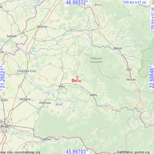
Beliu GPS coordinates[2]
46° 28' 59.988" North, 21° 58' 59.988" East
| Map corner | latitude | longitude |
|---|---|---|
| Upper-left | 46.96532°, | 21.28021° |
| Center: | 46.48333°, | 21.98333° |
| Lower-right: | 45.99703°, | 22.68646° |
| Map W x H: | 107.7×107.7 km | = 66.9×66.9mi |
| max Lat: | 48.23793° ⇑33.3% North |
| Beliu: | 46.48333° |
| min Lat: | ⇓66.7% South 43.65638° |
| min Long | Beliu | max Long |
| 20.31667° | 21.98333° | 29.65403° |
| W 5.4%⇐ | ⇒94.6% E |
Elevation
Elevation of Beliu is 119 m = 390 ft, and this is 135.9 m = 446 ft below average elevation for this country.
| Max E: |
1278 m = 4193 ft | 72.3% |
| Avg. | 254.9 m = 836 ft | |
| Beliu | 119 m = 390 ft | |
Min E: |
-2 m = -7 ft | 27.7% |
See also: Romania elevation on elevation.city.
Geographical zone
Beliu is located in North temperate zone (between Tropic of Cancer and the Arctic Circle). Distance of this North polar circle is 2232.7 km =1387.3 mi to North.| Distance of | km | miles | from Beliu |
|---|---|---|---|
| North Pole | 4838.6 | 3006.6 | to North |
| Arctic Circle | 2232.7 | 1387.3 | to North |
| Tropic Cancer | 2562.5 | 1592.3 | to South |
| Equator | 5168.5 | 3211.6 | to South |


Nearby cities:
15 places around Beliu: (largest is in red/bold)
• Aldești
10.8 km =6.7 mi,  155°
155°
• Archiş
5.1 km =3.2 mi,  90°
90°
• Bocsig
7.8 km =4.8 mi,  199°
199°
• Bârsa
12.8 km =8 mi,  150°
150°
• Cermei
12.6 km =7.8 mi,  306°
306°
• Chișlaca
8.1 km =5 mi,  348°
348°
• Craiva
11.2 km =7 mi, 353°
• Cărand
8.5 km =5.3 mi,  115°
115°
• Groșeni
10.5 km =6.5 mi,  81°
81°
• Hășmaș
7.9 km =4.9 mi, 76°
• Ineu
12.3 km =7.6 mi,  243°
243°
• Prunișor
12.8 km =8 mi, 123°
• Răpsig
7.5 km =4.7 mi, 157°
• Seliștea
3.8 km =2.4 mi, 120°
• Tăgădău
2.9 km =1.8 mi,  25°
25°
Sources, notices
• [Note1] Compared only with cities in Romania existing in our database
• [Src1] Map data: © OpenStreetMap contributors (CC-BY-SA)
• [Src2] Other city data from geonames.org with taken over terms of usage.
• [Src3] Geographical zone / Annual Mean Temperature by Robert A. Rohde @ Wikipedia
