Băla geodata
Băla (Mureş) is a seat of a second-order administrative division; located in Romania in Europe/Bucharest (GMT+3) time zone. With population of 889 people, there are 4662 cities with bigger population in this country. Compared to other cities in Romania, 72% of cities are located further ↓South; 60.4% of cities are located further →East and 82.7% of cities have lower elevation than Băla. Note1


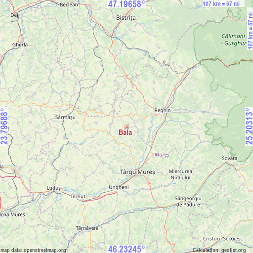
Băla GPS coordinates[2]
46° 43' 0.012" North, 24° 30' 0" East
| Map corner | latitude | longitude |
|---|---|---|
| Upper-left | 47.19658°, | 23.79688° |
| Center: | 46.71667°, | 24.5° |
| Lower-right: | 46.23245°, | 25.20313° |
| Map W x H: | 107.2×107.2 km | = 66.6×66.6mi |
| max Lat: | 48.23793° ⇑28% North |
| Băla: | 46.71667° |
| min Lat: | ⇓72% South 43.65638° |
| min Long | Băla | max Long |
| 20.31667° | 24.5° | 29.65403° |
| W 39.6%⇐ | ⇒60.4% E |
Elevation
Elevation of Băla is 420 m = 1378 ft, and this is 165.1 m = 542 ft above average elevation for this country.
| Max E: |
1278 m = 4193 ft | 17.3% |
| Băla | 420 m 1378 ft | |
| Avg. | 254.9 m = 836 ft | |
Min E: |
-2 m = -7 ft | 82.7% |
See also: Romania elevation on elevation.city.
Geographical zone
Băla is located in North temperate zone (between Tropic of Cancer and the Arctic Circle). Distance of this North polar circle is 2206.8 km =1371.2 mi to North.| Distance of | km | miles | from Băla |
|---|---|---|---|
| North Pole | 4812.7 | 2990.5 | to North |
| Arctic Circle | 2206.8 | 1371.2 | to North |
| Tropic Cancer | 2588.5 | 1608.4 | to South |
| Equator | 5194.4 | 3227.6 | to South |


Nearby cities:
15 places around Băla: (largest is in red/bold)
• Breaza
11.6 km =7.2 mi,  61°
61°
• Ceuașu de Câmpie
9.4 km =5.8 mi,  172°
172°
• Cozma
11.4 km =7.1 mi,  12°
12°
• Crăiești
7.3 km =4.5 mi,  308°
308°
• Filpișu Mare
8 km =5 mi, 58°
• Frunzeni
12 km =7.5 mi,  25°
25°
• Fărăgău
5.7 km =3.5 mi, 12°
• Glodeni
10.6 km =6.6 mi,  134°
134°
• Păingeni
6.2 km =3.9 mi, 130°
• Râciu
8.5 km =5.3 mi,  244°
244°
• Săbed
7.1 km =4.4 mi,  215°
215°
• Tonciu
8.1 km =5 mi, 29°
• Urmeniş
11.6 km =7.2 mi,  298°
298°
• Voivodeni
10.3 km =6.4 mi,  100°
100°
• Şincai
11.6 km =7.2 mi,  230°
230°
Sources, notices
• [Note1] Compared only with cities in Romania existing in our database
• [Src1] Map data: © OpenStreetMap contributors (CC-BY-SA)
• [Src2] Other city data from geonames.org with taken over terms of usage.
• [Src3] Geographical zone / Annual Mean Temperature by Robert A. Rohde @ Wikipedia
