Alparea geodata
Alparea (Bihor) is a populated place; located in Romania in Europe/Bucharest (GMT+3) time zone. With population of 1,010 people, there are 4261 cities with bigger population in this country. Compared to other cities in Romania, 79.7% of cities are located further ↓South; 94.1% of cities are located further →East and 61.1% of cities have higher elevation than Alparea. Note1


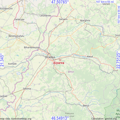
Alparea GPS coordinates[2]
47° 1' 49.944" North, 22° 2' 53.232" East
| Map corner | latitude | longitude |
|---|---|---|
| Upper-left | 47.50765°, | 21.345° |
| Center: | 47.03054°, | 22.04812° |
| Lower-right: | 46.54913°, | 22.75125° |
| Map W x H: | 106.6×106.6 km | = 66.2×66.2mi |
| max Lat: | 48.23793° ⇑20.3% North |
| Alparea: | 47.03054° |
| min Lat: | ⇓79.7% South 43.65638° |
| min Long | Alparea | max Long |
| 20.31667° | 22.04812° | 29.65403° |
| W 5.9%⇐ | ⇒94.1% E |
Elevation
Elevation of Alparea is 162 m = 531 ft, and this is 92.9 m = 305 ft below average elevation for this country.
| Max E: |
1278 m = 4193 ft | 61.1% |
| Avg. | 254.9 m = 836 ft | |
| Alparea | 162 m = 531 ft | |
Min E: |
-2 m = -7 ft | 38.9% |
See also: Romania elevation on elevation.city.
Geographical zone
Alparea is located in North temperate zone (between Tropic of Cancer and the Arctic Circle). Distance of this North polar circle is 2171.9 km =1349.6 mi to North.| Distance of | km | miles | from Alparea |
|---|---|---|---|
| North Pole | 4777.8 | 2968.8 | to North |
| Arctic Circle | 2171.9 | 1349.6 | to North |
| Tropic Cancer | 2623.4 | 1630.1 | to South |
| Equator | 5229.3 | 3249.3 | to South |


Nearby cities:
15 places around Alparea: (largest is in red/bold)
• Cheriu
2.8 km =1.7 mi,  224°
224°
• Cihei
8 km =5 mi,  243°
243°
• Cordău
10.2 km =6.3 mi,  208°
208°
• Fughiu
2.9 km =1.8 mi,  357°
357°
• Haieu
5.5 km =3.4 mi, 223°
• Hidişelu de Sus
9 km =5.6 mi,  179°
179°
• Husasău de Criș
6.2 km =3.9 mi,  11°
11°
• Ineu
7.8 km =4.8 mi,  41°
41°
• Oradea
10 km =6.2 mi,  279°
279°
• Oșorhei
0.3 km =0.2 mi,  24°
24°
• Sînmartin
6.2 km =3.9 mi,  245°
245°
• Săbolciu
9.3 km =5.8 mi,  58°
58°
• Săcădat
7.7 km =4.8 mi,  87°
87°
• Săldăbagiu de Munte
8.6 km =5.3 mi,  320°
320°
• Sărand
6.6 km =4.1 mi,  123°
123°
Sources, notices
• [Note1] Compared only with cities in Romania existing in our database
• [Src1] Map data: © OpenStreetMap contributors (CC-BY-SA)
• [Src2] Other city data from geonames.org with taken over terms of usage.
• [Src3] Geographical zone / Annual Mean Temperature by Robert A. Rohde @ Wikipedia
