Agriș geodata
Agriș (Satu Mare) is a seat of a second-order administrative division; located in Romania in Europe/Bucharest (GMT+3) time zone. With population of 1,058 people, there are 4099 cities with bigger population in this country. Compared to other cities in Romania, 97.7% of cities are located further ↓South; 84.3% of cities are located further →East and 70% of cities have higher elevation than Agriș. Note1


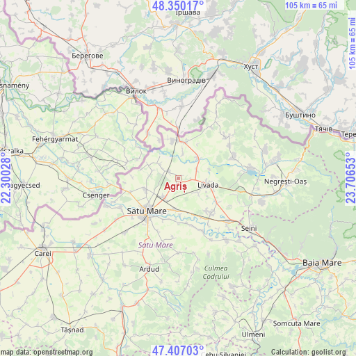
Agriș GPS coordinates[2]
47° 52' 50.7" North, 23° 0' 12.24" East
| Map corner | latitude | longitude |
|---|---|---|
| Upper-left | 48.35017°, | 22.30028° |
| Center: | 47.88075°, | 23.0034° |
| Lower-right: | 47.40703°, | 23.70653° |
| Map W x H: | 104.9×104.9 km | = 65.2×65.2mi |
| max Lat: | 48.23793° ⇑2.3% North |
| Agriș: | 47.88075° |
| min Lat: | ⇓97.7% South 43.65638° |
| min Long | Agriș | max Long |
| 20.31667° | 23.0034° | 29.65403° |
| W 15.7%⇐ | ⇒84.3% E |
Elevation
Elevation of Agriș is 127 m = 417 ft, and this is 127.9 m = 420 ft below average elevation for this country.
| Max E: |
1278 m = 4193 ft | 70% |
| Avg. | 254.9 m = 836 ft | |
| Agriș | 127 m = 417 ft | |
Min E: |
-2 m = -7 ft | 30% |
See also: Romania elevation on elevation.city.
Geographical zone
Agriș is located in North temperate zone (between Tropic of Cancer and the Arctic Circle). Distance of this North polar circle is 2077.3 km =1290.8 mi to North.| Distance of | km | miles | from Agriș |
|---|---|---|---|
| North Pole | 4683.2 | 2910 | to North |
| Arctic Circle | 2077.3 | 1290.8 | to North |
| Tropic Cancer | 2717.9 | 1688.8 | to South |
| Equator | 5323.8 | 3308.1 | to South |


Nearby cities:
15 places around Agriș: (largest is in red/bold)
• Adrian
9.6 km =6 mi,  74°
74°
• Bercu
9.3 km =5.8 mi,  293°
293°
• Botiz
6.6 km =4.1 mi,  217°
217°
• Cidreag
12.1 km =7.5 mi,  346°
346°
• Drăgușeni
6.2 km =3.9 mi,  63°
63°
• Dumbrava
7 km =4.3 mi,  125°
125°
• Halmeu
9.6 km =6 mi,  5°
5°
• Lazuri
10.8 km =6.7 mi,  251°
251°
• Livada
9.8 km =6.1 mi,  99°
99°
• Micula
4.5 km =2.8 mi,  298°
298°
• Nisipeni
7.8 km =4.8 mi, 288°
• Odoreu
9 km =5.6 mi,  181°
181°
• Petin
12.3 km =7.6 mi,  192°
192°
• Porumbești
11.5 km =7.1 mi, 351°
• Turulung
8.3 km =5.2 mi,  45°
45°
Sources, notices
• [Note1] Compared only with cities in Romania existing in our database
• [Src1] Map data: © OpenStreetMap contributors (CC-BY-SA)
• [Src2] Other city data from geonames.org with taken over terms of usage.
• [Src3] Geographical zone / Annual Mean Temperature by Robert A. Rohde @ Wikipedia
