Zlatoustovsk geodata
Zlatoustovsk (Amur Oblast) is a populated place; located in Russia in Asia/Yakutsk (GMT+9) time zone. With population of 823 people, there are 4741 cities with bigger population in this country. Compared to other cities in Russia, 63% of cities are located further ↑North; 96.5% of cities are located further ←West and 95.2% of cities have lower elevation than Zlatoustovsk. Note1


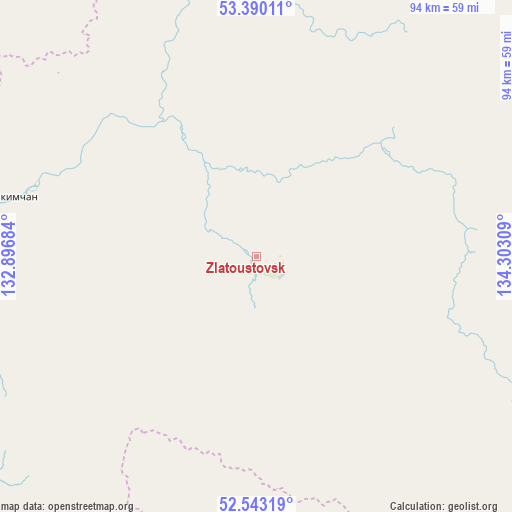
Zlatoustovsk GPS coordinates[2]
52° 58' 7.392" North, 133° 35' 59.856" East
| Map corner | latitude | longitude |
|---|---|---|
| Upper-left | 53.39011°, | 132.89684° |
| Center: | 52.96872°, | 133.59996° |
| Lower-right: | 52.54319°, | 134.30309° |
| Map W x H: | 94.2×94.2 km | = 58.5×58.5mi |
| max Lat: | 73.50819° ⇑63% North |
| Zlatoustovsk: | 52.96872° |
| min Lat: | ⇓37% South 41.28413° |
| min Long | Zlatoustovsk | max Long |
| -179.12198° | 133.59996° | 179.35046° |
| W 96.5%⇐ | ⇒3.5% E |
Elevation
Elevation of Zlatoustovsk is 645 m = 2116 ft, and this is 442.4 m = 1451 ft above average elevation for this country.
| Max E: |
2518 m = 8261 ft | 4.8% |
| Zlatoustovsk | 645 m 2116 ft | |
| Avg. | 202.6 m = 665 ft | |
Min E: |
-28 m = -92 ft | 95.2% |
See also: Russia elevation on elevation.city.
Geographical zone
Zlatoustovsk is located in North temperate zone (between Tropic of Cancer and the Arctic Circle). Distance of this North polar circle is 1511.6 km =939.3 mi to North.| Distance of | km | miles | from Zlatoustovsk |
|---|---|---|---|
| North Pole | 4117.5 | 2558.5 | to North |
| Arctic Circle | 1511.6 | 939.3 | to North |
| Tropic Cancer | 3283.7 | 2040.4 | to South |
| Equator | 5889.6 | 3659.6 | to South |


Nearby cities:
14 places around Zlatoustovsk: (largest is in red/bold)
• Berëzovyy
201.5 km =125.2 mi,  135°
135°
• Chegdomyn
208.6 km =129.6 mi,  191°
191°
• Chumikan
224.8 km =139.7 mi,  30°
30°
• Ekimchan
45.5 km =28.3 mi,  284°
284°
• Gorin
287.2 km =178.5 mi,  133°
133°
• Gornyy
313.6 km =194.9 mi, 141°
• Imeni Poliny Osipenko
203.8 km =126.6 mi,  107°
107°
• Koboldo
58.2 km =36.2 mi,  269°
269°
• Novyy Urgal
221.8 km =137.8 mi,  197°
197°
• Sofiysk
83.6 km =51.9 mi,  161°
161°
• Solnechnyy
325.3 km =202.1 mi, 140°
• Stoyba
128.2 km =79.7 mi,  261°
261°
• Tokur
50.9 km =31.6 mi,  291°
291°
• Tyrma
339.9 km =211.2 mi, 197°
Sources, notices
• [Note1] Compared only with cities in Russia existing in our database
• [Src1] Map data: © OpenStreetMap contributors (CC-BY-SA)
• [Src2] Other city data from geonames.org with taken over terms of usage.
• [Src3] Geographical zone / Annual Mean Temperature by Robert A. Rohde @ Wikipedia
