Chegdomyn geodata
Chegdomyn (Khabarovsk) is a populated place; located in Russia in Asia/Vladivostok (GMT+10) time zone. With population of 14,855 people, there are 1097 cities with bigger population in this country. Compared to other cities in Russia, 74.4% of cities are located further ↑North; 96.1% of cities are located further ←West and 88.9% of cities have lower elevation than Chegdomyn. Note1


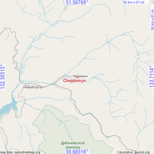
Chegdomyn GPS coordinates[2]
51° 7' 42.708" North, 133° 0' 29.772" East
| Map corner | latitude | longitude |
|---|---|---|
| Upper-left | 51.56769°, | 132.30515° |
| Center: | 51.12853°, | 133.00827° |
| Lower-right: | 50.68516°, | 133.7114° |
| Map W x H: | 98.1×98.1 km | = 61×61mi |
| max Lat: | 73.50819° ⇑74.4% North |
| Chegdomyn: | 51.12853° |
| min Lat: | ⇓25.6% South 41.28413° |
| min Long | Chegdomyn | max Long |
| -179.12198° | 133.00827° | 179.35046° |
| W 96.1%⇐ | ⇒3.9% E |
Elevation
Elevation of Chegdomyn is 426 m = 1398 ft, and this is 223.4 m = 733 ft above average elevation for this country.
| Max E: |
2518 m = 8261 ft | 11.1% |
| Chegdomyn | 426 m 1398 ft | |
| Avg. | 202.6 m = 665 ft | |
Min E: |
-28 m = -92 ft | 88.9% |
See also: Russia elevation on elevation.city.
Geographical zone
Chegdomyn is located in North temperate zone (between Tropic of Cancer and the Arctic Circle). Distance of this North polar circle is 1716.2 km =1066.4 mi to North.| Distance of | km | miles | from Chegdomyn |
|---|---|---|---|
| North Pole | 4322.1 | 2685.6 | to North |
| Arctic Circle | 1716.2 | 1066.4 | to North |
| Tropic Cancer | 3079 | 1913.2 | to South |
| Equator | 5685 | 3532.5 | to South |


Nearby cities:
15 places around Chegdomyn: (largest is in red/bold)
• Berëzovyy
193.9 km =120.5 mi,  71°
71°
• Bira
239.6 km =148.9 mi,  189°
189°
• Birakan
254.6 km =158.2 mi,  201°
201°
• Ekimchan
215.9 km =134.2 mi,  358°
358°
• Gornyy
244.4 km =151.9 mi,  99°
99°
• Koboldo
204.9 km =127.3 mi,  354°
354°
• Kul’dur
235.1 km =146.1 mi, 204°
• Londoko
245.6 km =152.6 mi, 197°
• Novyy Urgal
29.2 km =18.1 mi,  257°
257°
• Sofiysk
142.6 km =88.6 mi,  28°
28°
• Stoyba
204.9 km =127.3 mi,  334°
334°
• Talakan
215.6 km =134 mi,  243°
243°
• Tokur
223.3 km =138.8 mi, 357°
• Tyrma
134.6 km =83.6 mi,  206°
206°
• Zlatoustovsk
208.6 km =129.6 mi,  11°
11°
Sources, notices
• [Note1] Compared only with cities in Russia existing in our database
• [Src1] Map data: © OpenStreetMap contributors (CC-BY-SA)
• [Src2] Other city data from geonames.org with taken over terms of usage.
• [Src3] Geographical zone / Annual Mean Temperature by Robert A. Rohde @ Wikipedia
