Il’ka geodata
Il’ka (Buryatiya Republic) is a populated place; located in Russia in Asia/Irkutsk (GMT+8) time zone. With population of 2,100 people, there are 4110 cities with bigger population in this country. Compared to other cities in Russia, 71% of cities are located further ↑North; 91% of cities are located further ←West and 94.6% of cities have lower elevation than Il’ka. Note1


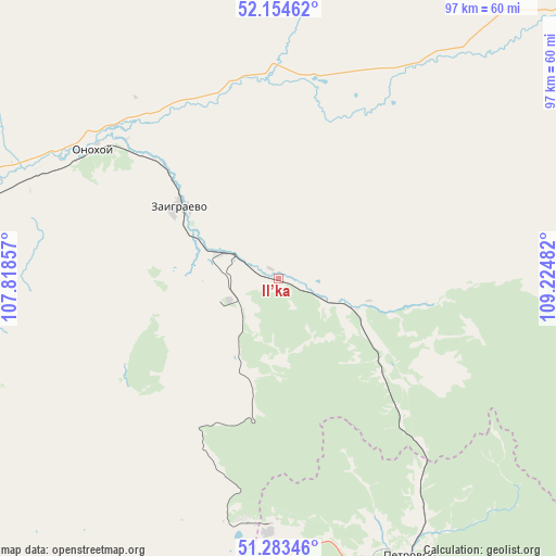
Il’ka GPS coordinates[2]
51° 43' 16.104" North, 108° 31' 18.084" East
| Map corner | latitude | longitude |
|---|---|---|
| Upper-left | 52.15462°, | 107.81857° |
| Center: | 51.72114°, | 108.52169° |
| Lower-right: | 51.28346°, | 109.22482° |
| Map W x H: | 96.9×96.9 km | = 60.2×60.2mi |
| max Lat: | 73.50819° ⇑71% North |
| Il’ka: | 51.72114° |
| min Lat: | ⇓29% South 41.28413° |
| min Long | Il’ka | max Long |
| -179.12198° | 108.52169° | 179.35046° |
| W 91%⇐ | ⇒9% E |
Elevation
Elevation of Il’ka is 613 m = 2011 ft, and this is 410.4 m = 1346 ft above average elevation for this country.
| Max E: |
2518 m = 8261 ft | 5.4% |
| Il’ka | 613 m 2011 ft | |
| Avg. | 202.6 m = 665 ft | |
Min E: |
-28 m = -92 ft | 94.6% |
See also: Russia elevation on elevation.city.
Geographical zone
Il’ka is located in North temperate zone (between Tropic of Cancer and the Arctic Circle). Distance of this North polar circle is 1650.3 km =1025.4 mi to North.| Distance of | km | miles | from Il’ka |
|---|---|---|---|
| North Pole | 4256.2 | 2644.7 | to North |
| Arctic Circle | 1650.3 | 1025.4 | to North |
| Tropic Cancer | 3144.9 | 1954.1 | to South |
| Equator | 5750.9 | 3573.4 | to South |


Nearby cities:
15 places around Il’ka: (largest is in red/bold)
• Balyaga
69.2 km =43 mi,  155°
155°
• Bol’shoy Kunaley
70.8 km =44 mi,  242°
242°
• Khonkholoy
68.7 km =42.7 mi,  197°
197°
• Nikolayevskiy
50.2 km =31.2 mi,  261°
261°
• Nikol’sk
60.8 km =37.8 mi,  193°
193°
• Nizhniy Sayantuy
69.5 km =43.2 mi,  271°
271°
• Novaya Bryan’
17.3 km =10.7 mi, 268°
• Novopavlovka
73.7 km =45.8 mi,  139°
139°
• Onokhoy
38.8 km =24.1 mi,  306°
306°
• Petrovsk-Zabaykal’skiy
54.3 km =33.7 mi, 155°
• Sagan-Nur
42.3 km =26.3 mi, 187°
• Tarbagatay
72.5 km =45 mi,  146°
146°
• Ulan-Ude
64.1 km =39.8 mi,  280°
280°
• Zaigrayevo
21.6 km =13.4 mi, 305°
• Zarechnyy
70.3 km =43.7 mi, 281°
Sources, notices
• [Note1] Compared only with cities in Russia existing in our database
• [Src1] Map data: © OpenStreetMap contributors (CC-BY-SA)
• [Src2] Other city data from geonames.org with taken over terms of usage.
• [Src3] Geographical zone / Annual Mean Temperature by Robert A. Rohde @ Wikipedia
