Tymovskoye geodata
Tymovskoye (Sakhalin Oblast) is a populated place; located in Russia in Asia/Sakhalin (GMT+11) time zone. With population of 8,030 people, there are 1792 cities with bigger population in this country. Compared to other cities in Russia, 75.4% of cities are located further ↑North; 98.4% of cities are located further ←West and 63.5% of cities have higher elevation than Tymovskoye. Note1


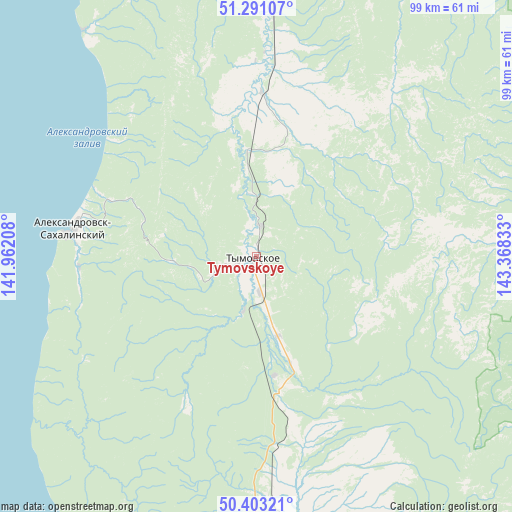
Tymovskoye GPS coordinates[2]
50° 50' 57.3" North, 142° 39' 54.72" East
| Map corner | latitude | longitude |
|---|---|---|
| Upper-left | 51.29107°, | 141.96208° |
| Center: | 50.84925°, | 142.6652° |
| Lower-right: | 50.40321°, | 143.36833° |
| Map W x H: | 98.7×98.7 km | = 61.3×61.3mi |
| max Lat: | 73.50819° ⇑75.4% North |
| Tymovskoye: | 50.84925° |
| min Lat: | ⇓24.6% South 41.28413° |
| min Long | Tymovskoye | max Long |
| -179.12198° | 142.6652° | 179.35046° |
| W 98.4%⇐ | ⇒1.6% E |
Elevation
Elevation of Tymovskoye is 117 m = 384 ft, and this is 85.6 m = 281 ft below average elevation for this country.
| Max E: |
2518 m = 8261 ft | 63.5% |
| Avg. | 202.6 m = 665 ft | |
| Tymovskoye | 117 m = 384 ft | |
Min E: |
-28 m = -92 ft | 36.5% |
See also: Russia elevation on elevation.city.
Geographical zone
Tymovskoye is located in North temperate zone (between Tropic of Cancer and the Arctic Circle). Distance of this North polar circle is 1747.3 km =1085.7 mi to North.| Distance of | km | miles | from Tymovskoye |
|---|---|---|---|
| North Pole | 4353.2 | 2705 | to North |
| Arctic Circle | 1747.3 | 1085.7 | to North |
| Tropic Cancer | 3048 | 1893.9 | to South |
| Equator | 5653.9 | 3513.2 | to South |


Nearby cities:
15 places around Tymovskoye: (largest is in red/bold)
• Aleksandrovsk-Sakhalinskiy
35.7 km =22.2 mi,  278°
278°
• Boshnyakovo
138.4 km =86 mi,  194°
194°
• De-Kastri
149.4 km =92.8 mi,  297°
297°
• Gastello
195.6 km =121.5 mi,  173°
173°
• Katangli
104 km =64.6 mi,  21°
21°
• Lazarev
172.3 km =107.1 mi,  332°
332°
• Leonidovo
174.4 km =108.4 mi,  175°
175°
• Mgachi
35.5 km =22.1 mi,  308°
308°
• Nogliki
110.6 km =68.7 mi, 17°
• Poronaysk
183.6 km =114.1 mi, 170°
• Shakhtersk
190.3 km =118.2 mi, 191°
• Smirnykh
123.3 km =76.6 mi, 174°
• Tikhmenevo
183.6 km =114.1 mi, 174°
• Udarnyy
196.4 km =122 mi, 191°
• Val
167.9 km =104.3 mi,  9°
9°
Sources, notices
• [Note1] Compared only with cities in Russia existing in our database
• [Src1] Map data: © OpenStreetMap contributors (CC-BY-SA)
• [Src2] Other city data from geonames.org with taken over terms of usage.
• [Src3] Geographical zone / Annual Mean Temperature by Robert A. Rohde @ Wikipedia
