Zvenigovo geodata
Zvenigovo (Mariy-El Republic) is a populated place; located in Russia in Europe/Moscow (GMT+3) time zone. With population of 12,484 people, there are 1233 cities with bigger population in this country. Compared to other cities in Russia, 66.3% of cities are located further ↓South; 58.9% of cities are located further ←West and 80.6% of cities have higher elevation than Zvenigovo. Note1


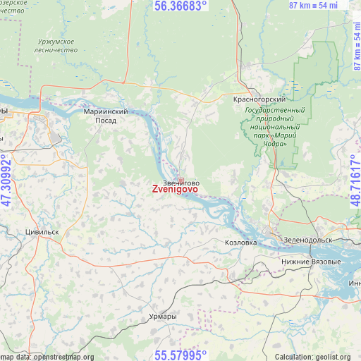
Zvenigovo GPS coordinates[2]
55° 58' 31.404" North, 48° 0' 46.944" East
| Map corner | latitude | longitude |
|---|---|---|
| Upper-left | 56.36683°, | 47.30992° |
| Center: | 55.97539°, | 48.01304° |
| Lower-right: | 55.57995°, | 48.71617° |
| Map W x H: | 87.5×87.5 km | = 54.4×54.4mi |
| max Lat: | 73.50819° ⇑33.7% North |
| Zvenigovo: | 55.97539° |
| min Lat: | ⇓66.3% South 41.28413° |
| min Long | Zvenigovo | max Long |
| -179.12198° | 48.01304° | 179.35046° |
| W 58.9%⇐ | ⇒41.1% E |
Elevation
Elevation of Zvenigovo is 69 m = 226 ft, and this is 133.6 m = 438 ft below average elevation for this country.
| Max E: |
2518 m = 8261 ft | 80.6% |
| Avg. | 202.6 m = 665 ft | |
| Zvenigovo | 69 m = 226 ft | |
Min E: |
-28 m = -92 ft | 19.4% |
See also: Russia elevation on elevation.city.
Geographical zone
Zvenigovo is located in North temperate zone (between Tropic of Cancer and the Arctic Circle). Distance of this North polar circle is 1177.3 km =731.5 mi to North.| Distance of | km | miles | from Zvenigovo |
|---|---|---|---|
| North Pole | 3783.2 | 2350.8 | to North |
| Arctic Circle | 1177.3 | 731.5 | to North |
| Tropic Cancer | 3618 | 2248.1 | to South |
| Equator | 6223.9 | 3867.4 | to South |


Nearby cities:
15 places around Zvenigovo: (largest is in red/bold)
• Atlashevo
28.7 km =17.8 mi,  278°
278°
• Aysha
40.3 km =25 mi,  106°
106°
• Kozlovka
20.8 km =12.9 mi,  135°
135°
• Krasnogorskiy
27.7 km =17.2 mi,  44°
44°
• Mariinskiy Posad
24 km =14.9 mi,  310°
310°
• Nizhniye Vyazovyye
37.5 km =23.3 mi,  121°
121°
• Novocheboksarsk
36.5 km =22.7 mi,  294°
294°
• Pomary
21 km =13 mi,  92°
92°
• Privolzhskiy
25.1 km =15.6 mi, 93°
• Suslonger
40.6 km =25.2 mi,  21°
21°
• Tsivil’sk
35.3 km =21.9 mi,  250°
250°
• Urmary
33.2 km =20.6 mi,  187°
187°
• Volzhsk
24.8 km =15.4 mi, 119°
• Yantikovo
18.3 km =11.4 mi,  200°
200°
• Zelenodolsk
34.7 km =21.6 mi, 114°
Sources, notices
• [Note1] Compared only with cities in Russia existing in our database
• [Src1] Map data: © OpenStreetMap contributors (CC-BY-SA)
• [Src2] Other city data from geonames.org with taken over terms of usage.
• [Src3] Geographical zone / Annual Mean Temperature by Robert A. Rohde @ Wikipedia
