Tyulyachi geodata
Tyulyachi (Tatarstan Republic) is a populated place; located in Russia in Europe/Moscow (GMT+3) time zone. With population of 2,949 people, there are 3807 cities with bigger population in this country. Compared to other cities in Russia, 65.1% of cities are located further ↓South; 62.4% of cities are located further ←West and 71.5% of cities have higher elevation than Tyulyachi. Note1


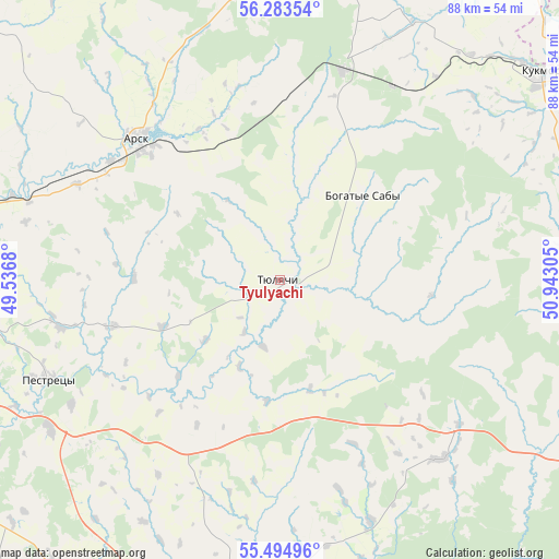
Tyulyachi GPS coordinates[2]
55° 53' 28.5" North, 50° 14' 23.712" East
| Map corner | latitude | longitude |
|---|---|---|
| Upper-left | 56.28354°, | 49.5368° |
| Center: | 55.89125°, | 50.23992° |
| Lower-right: | 55.49496°, | 50.94305° |
| Map W x H: | 87.7×87.7 km | = 54.5×54.5mi |
| max Lat: | 73.50819° ⇑34.9% North |
| Tyulyachi: | 55.89125° |
| min Lat: | ⇓65.1% South 41.28413° |
| min Long | Tyulyachi | max Long |
| -179.12198° | 50.23992° | 179.35046° |
| W 62.4%⇐ | ⇒37.6% E |
Elevation
Elevation of Tyulyachi is 99 m = 325 ft, and this is 103.6 m = 340 ft below average elevation for this country.
| Max E: |
2518 m = 8261 ft | 71.5% |
| Avg. | 202.6 m = 665 ft | |
| Tyulyachi | 99 m = 325 ft | |
Min E: |
-28 m = -92 ft | 28.5% |
See also: Russia elevation on elevation.city.
Geographical zone
Tyulyachi is located in North temperate zone (between Tropic of Cancer and the Arctic Circle). Distance of this North polar circle is 1186.6 km =737.3 mi to North.| Distance of | km | miles | from Tyulyachi |
|---|---|---|---|
| North Pole | 3792.5 | 2356.5 | to North |
| Arctic Circle | 1186.6 | 737.3 | to North |
| Tropic Cancer | 3608.6 | 2242.3 | to South |
| Equator | 6214.5 | 3861.5 | to South |


Nearby cities:
15 places around Tyulyachi: (largest is in red/bold)
• Alekseyevskoye
65.4 km =40.6 mi,  186°
186°
• Arsk
31.7 km =19.7 mi,  314°
314°
• Baltasi
50.6 km =31.4 mi,  357°
357°
• Bogatyye Saby
18.5 km =11.5 mi,  44°
44°
• Chistopol’
63.9 km =39.7 mi,  156°
156°
• Kazan
70.7 km =43.9 mi,  260°
260°
• Krasnaya Polyana
68.4 km =42.5 mi,  55°
55°
• Kukmor
52.2 km =32.4 mi,  51°
51°
• Laishevo
69.3 km =43.1 mi,  218°
218°
• Pestretsy
39.7 km =24.7 mi,  247°
247°
• Rybnaya Sloboda
48.2 km =30 mi, 187°
• Shemordan
34.2 km =21.3 mi,  16°
16°
• Stolbishchi
69.6 km =43.2 mi, 247°
• Vyatskiye Polyany
63.3 km =39.3 mi, 54°
• Vysokaya Gora
58.5 km =36.4 mi,  272°
272°
Sources, notices
• [Note1] Compared only with cities in Russia existing in our database
• [Src1] Map data: © OpenStreetMap contributors (CC-BY-SA)
• [Src2] Other city data from geonames.org with taken over terms of usage.
• [Src3] Geographical zone / Annual Mean Temperature by Robert A. Rohde @ Wikipedia
