Solikamsk geodata
Solikamsk (Perm) is a populated place; located in Russia in Asia/Yekaterinburg (GMT+5) time zone. With population of 100,812 people, there are 209 cities with bigger population in this country. Compared to other cities in Russia, 88.3% of cities are located further ↓South; 68.4% of cities are located further ←West and 50.2% of cities have higher elevation than Solikamsk. Note1


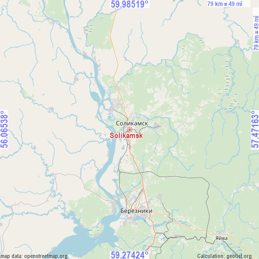
Solikamsk GPS coordinates[2]
59° 37' 53.76" North, 56° 46' 6.6" East
| Map corner | latitude | longitude |
|---|---|---|
| Upper-left | 59.98519°, | 56.06538° |
| Center: | 59.6316°, | 56.7685° |
| Lower-right: | 59.27424°, | 57.47163° |
| Map W x H: | 79.1×79 km | = 49.2×49.1mi |
| max Lat: | 73.50819° ⇑11.7% North |
| Solikamsk: | 59.6316° |
| min Lat: | ⇓88.3% South 41.28413° |
| min Long | Solikamsk | max Long |
| -179.12198° | 56.7685° | 179.35046° |
| W 68.4%⇐ | ⇒31.6% E |
Elevation
Elevation of Solikamsk is 144 m = 472 ft, and this is 58.6 m = 192 ft below average elevation for this country.
| Max E: |
2518 m = 8261 ft | 50.2% |
| Avg. | 202.6 m = 665 ft | |
| Solikamsk | 144 m = 472 ft | |
Min E: |
-28 m = -92 ft | 49.8% |
See also: Solikamsk elevation on elevation.city.
Geographical zone
Solikamsk is located in North temperate zone (between Tropic of Cancer and the Arctic Circle). Distance of this North polar circle is 770.8 km =479 mi to North.| Distance of | km | miles | from Solikamsk |
|---|---|---|---|
| North Pole | 3376.6 | 2098.1 | to North |
| Arctic Circle | 770.8 | 479 | to North |
| Tropic Cancer | 4024.5 | 2500.7 | to South |
| Equator | 6630.4 | 4119.9 | to South |


Nearby cities:
15 places around Solikamsk: (largest is in red/bold)
• Aleksandrovsk
69.5 km =43.2 mi,  139°
139°
• Berezniki
24.9 km =15.5 mi,  173°
173°
• Cherdyn’
87.3 km =54.2 mi,  349°
349°
• Kerchevskiy
43.8 km =27.2 mi,  322°
322°
• Kizel
81.9 km =50.9 mi, 142°
• Krasnovishersk
88 km =54.7 mi,  11°
11°
• Maykor
86.1 km =53.5 mi,  215°
215°
• Pozhva
71.3 km =44.3 mi,  212°
212°
• Rudnichnyy
85 km =52.8 mi, 144°
• Severnyy-Kospashskiy
84.1 km =52.3 mi, 135°
• Shakhta
78.5 km =48.8 mi, 140°
• Ugleural’skiy
89.6 km =55.7 mi,  148°
148°
• Usol’ye
23.8 km =14.8 mi,  191°
191°
• Yayva
43.1 km =26.8 mi, 139°
• Yuzhnyy-Kospashskiy
92.4 km =57.4 mi, 142°
Sources, notices
• [Note1] Compared only with cities in Russia existing in our database
• [Src1] Map data: © OpenStreetMap contributors (CC-BY-SA)
• [Src2] Other city data from geonames.org with taken over terms of usage.
• [Src3] Geographical zone / Annual Mean Temperature by Robert A. Rohde @ Wikipedia
