Partizan geodata
Partizan (Tula) is a populated place; located in Russia in Europe/Moscow (GMT+3) time zone. With population of 2,462 people, there are 3975 cities with bigger population in this country. Compared to other cities in Russia, 55.7% of cities are located further ↑North; 76.6% of cities are located further →East and 79.2% of cities have lower elevation than Partizan. Note1


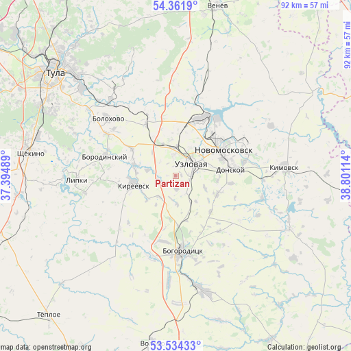
Partizan GPS coordinates[2]
53° 57' 0.612" North, 38° 5' 52.836" East
| Map corner | latitude | longitude |
|---|---|---|
| Upper-left | 54.3619°, | 37.39489° |
| Center: | 53.95017°, | 38.09801° |
| Lower-right: | 53.53433°, | 38.80114° |
| Map W x H: | 92×92 km | = 57.2×57.2mi |
| max Lat: | 73.50819° ⇑55.7% North |
| Partizan: | 53.95017° |
| min Lat: | ⇓44.3% South 41.28413° |
| min Long | Partizan | max Long |
| -179.12198° | 38.09801° | 179.35046° |
| W 23.4%⇐ | ⇒76.6% E |
Elevation
Elevation of Partizan is 241 m = 791 ft, and this is 38.4 m = 126 ft above average elevation for this country.
| Max E: |
2518 m = 8261 ft | 20.8% |
| Partizan | 241 m 791 ft | |
| Avg. | 202.6 m = 665 ft | |
Min E: |
-28 m = -92 ft | 79.2% |
See also: Russia elevation on elevation.city.
Geographical zone
Partizan is located in North temperate zone (between Tropic of Cancer and the Arctic Circle). Distance of this North polar circle is 1402.5 km =871.5 mi to North.| Distance of | km | miles | from Partizan |
|---|---|---|---|
| North Pole | 4008.4 | 2490.7 | to North |
| Arctic Circle | 1402.5 | 871.5 | to North |
| Tropic Cancer | 3392.8 | 2108.2 | to South |
| Equator | 5998.7 | 3727.4 | to South |


Nearby cities:
15 places around Partizan: (largest is in red/bold)
• Begichevskiy
20 km =12.4 mi,  149°
149°
• Bogoroditsk
19.9 km =12.4 mi,  175°
175°
• Borodinskiy
19.1 km =11.9 mi,  286°
286°
• Brusyanka
5.6 km =3.5 mi,  313°
313°
• Donskoy
15.8 km =9.8 mi,  81°
81°
• Dubovka
2.3 km =1.4 mi,  275°
275°
• Gritsovskiy
21.2 km =13.2 mi,  11°
11°
• Kamenetskiy
10.7 km =6.6 mi,  48°
48°
• Kireyevsk
11.3 km =7 mi,  260°
260°
• Mayskiy
7.6 km =4.7 mi, 79°
• Novomoskovsk
13.9 km =8.6 mi,  61°
61°
• Podlesnyy
11.2 km =7 mi,  95°
95°
• Severo-Zadonsk
22 km =13.7 mi, 64°
• Shvartsevskiy
17.2 km =10.7 mi,  335°
335°
• Uzlovaya
5.9 km =3.7 mi, 53°
Sources, notices
• [Note1] Compared only with cities in Russia existing in our database
• [Src1] Map data: © OpenStreetMap contributors (CC-BY-SA)
• [Src2] Other city data from geonames.org with taken over terms of usage.
• [Src3] Geographical zone / Annual Mean Temperature by Robert A. Rohde @ Wikipedia
