Novorudnyy geodata
Novorudnyy (Orenburg Oblast) is a populated place; located in Russia in Asia/Yekaterinburg (GMT+5) time zone. With population of 1,930 people, there are 4206 cities with bigger population in this country. Compared to other cities in Russia, 72.5% of cities are located further ↑North; 69.7% of cities are located further ←West and 87.5% of cities have lower elevation than Novorudnyy. Note1


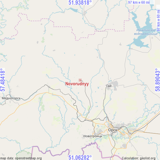
Novorudnyy GPS coordinates[2]
51° 30' 9.36" North, 58° 11' 14.28" East
| Map corner | latitude | longitude |
|---|---|---|
| Upper-left | 51.93818°, | 57.48418° |
| Center: | 51.5026°, | 58.1873° |
| Lower-right: | 51.06282°, | 58.89043° |
| Map W x H: | 97.3×97.3 km | = 60.5×60.5mi |
| max Lat: | 73.50819° ⇑72.5% North |
| Novorudnyy: | 51.5026° |
| min Lat: | ⇓27.5% South 41.28413° |
| min Long | Novorudnyy | max Long |
| -179.12198° | 58.1873° | 179.35046° |
| W 69.7%⇐ | ⇒30.3% E |
Elevation
Elevation of Novorudnyy is 385 m = 1263 ft, and this is 182.4 m = 598 ft above average elevation for this country.
| Max E: |
2518 m = 8261 ft | 12.5% |
| Novorudnyy | 385 m 1263 ft | |
| Avg. | 202.6 m = 665 ft | |
Min E: |
-28 m = -92 ft | 87.5% |
See also: Russia elevation on elevation.city.
Geographical zone
Novorudnyy is located in North temperate zone (between Tropic of Cancer and the Arctic Circle). Distance of this North polar circle is 1674.6 km =1040.5 mi to North.| Distance of | km | miles | from Novorudnyy |
|---|---|---|---|
| North Pole | 4280.5 | 2659.8 | to North |
| Arctic Circle | 1674.6 | 1040.5 | to North |
| Tropic Cancer | 3120.6 | 1939.1 | to South |
| Equator | 5726.6 | 3558.3 | to South |


Nearby cities:
15 places around Novorudnyy: (largest is in red/bold)
• Adamovka
121.3 km =75.4 mi,  88°
88°
• Ak”yar
39.7 km =24.7 mi,  3°
3°
• Buribay
51.1 km =31.8 mi,  357°
357°
• Dubenskiy
107.7 km =66.9 mi,  267°
267°
• Energetik
49.7 km =30.9 mi,  57°
57°
• Gay
19 km =11.8 mi,  102°
102°
• Kuvandyk
57.7 km =35.9 mi, 267°
• Mednogorsk
42.2 km =26.2 mi,  256°
256°
• Novoorsk
56.7 km =35.2 mi, 103°
• Novotroitsk
34.7 km =21.6 mi,  163°
163°
• Orsk
42.3 km =26.3 mi,  141°
141°
• Shil’da
114.8 km =71.3 mi,  72°
72°
• Staraya Akkermanovka
28.7 km =17.8 mi,  172°
172°
• Yelizavetinka
111.3 km =69.2 mi, 74°
• Zilair
96.1 km =59.7 mi,  327°
327°
Sources, notices
• [Note1] Compared only with cities in Russia existing in our database
• [Src1] Map data: © OpenStreetMap contributors (CC-BY-SA)
• [Src2] Other city data from geonames.org with taken over terms of usage.
• [Src3] Geographical zone / Annual Mean Temperature by Robert A. Rohde @ Wikipedia
