Dubenskiy geodata
Dubenskiy (Orenburg Oblast) is a populated place; located in Russia in Asia/Yekaterinburg (GMT+5) time zone. With population of 596 people, there are 4898 cities with bigger population in this country. Compared to other cities in Russia, 72.8% of cities are located further ↑North; 68.3% of cities are located further ←West and 66.8% of cities have lower elevation than Dubenskiy. Note1


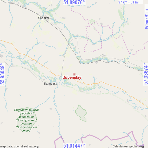
Dubenskiy GPS coordinates[2]
51° 27' 16.992" North, 56° 38' 0.996" East
| Map corner | latitude | longitude |
|---|---|---|
| Upper-left | 51.89076°, | 55.93049° |
| Center: | 51.45472°, | 56.63361° |
| Lower-right: | 51.01447°, | 57.33674° |
| Map W x H: | 97.4×97.4 km | = 60.5×60.5mi |
| max Lat: | 73.50819° ⇑72.8% North |
| Dubenskiy: | 51.45472° |
| min Lat: | ⇓27.2% South 41.28413° |
| min Long | Dubenskiy | max Long |
| -179.12198° | 56.63361° | 179.35046° |
| W 68.3%⇐ | ⇒31.7% E |
Elevation
Elevation of Dubenskiy is 187 m = 614 ft, and this is 15.6 m = 51 ft below average elevation for this country.
| Max E: |
2518 m = 8261 ft | 33.2% |
| Avg. | 202.6 m = 665 ft | |
| Dubenskiy | 187 m = 614 ft | |
Min E: |
-28 m = -92 ft | 66.8% |
See also: Russia elevation on elevation.city.
Geographical zone
Dubenskiy is located in North temperate zone (between Tropic of Cancer and the Arctic Circle). Distance of this North polar circle is 1679.9 km =1043.8 mi to North.| Distance of | km | miles | from Dubenskiy |
|---|---|---|---|
| North Pole | 4285.8 | 2663.1 | to North |
| Arctic Circle | 1679.9 | 1043.8 | to North |
| Tropic Cancer | 3115.3 | 1935.8 | to South |
| Equator | 5721.2 | 3555 | to South |


Nearby cities:
15 places around Dubenskiy: (largest is in red/bold)
• Belyayevka
16.3 km =10.1 mi,  247°
247°
• Isyangulovo
81.4 km =50.6 mi,  357°
357°
• Krasnyy Kommunar
104.1 km =64.7 mi,  302°
302°
• Kuvandyk
50.1 km =31.1 mi,  87°
87°
• Matveyevka
83.3 km =51.8 mi,  338°
338°
• Mednogorsk
66.8 km =41.5 mi, 94°
• Nezhinka
94 km =58.4 mi,  291°
291°
• Novorudnyy
107.7 km =66.9 mi, 87°
• Orenburg
111.7 km =69.4 mi, 288°
• Prigorodnyy
100.5 km =62.4 mi, 290°
• Sakmara
107.2 km =66.6 mi, 303°
• Saraktash
41.5 km =25.8 mi,  333°
333°
• Staraya Akkermanovka
113.9 km =70.8 mi,  101°
101°
• Tyul’gan
103.6 km =64.4 mi, 341°
• Zilair
102.7 km =63.8 mi,  32°
32°
Sources, notices
• [Note1] Compared only with cities in Russia existing in our database
• [Src1] Map data: © OpenStreetMap contributors (CC-BY-SA)
• [Src2] Other city data from geonames.org with taken over terms of usage.
• [Src3] Geographical zone / Annual Mean Temperature by Robert A. Rohde @ Wikipedia
