Losevo geodata
Losevo (Voronezj) is a populated place; located in Russia in Europe/Moscow (GMT+3) time zone. With population of 4,476 people, there are 2875 cities with bigger population in this country. Compared to other cities in Russia, 76.1% of cities are located further ↑North; 67.3% of cities are located further →East and 76.1% of cities have higher elevation than Losevo. Note1


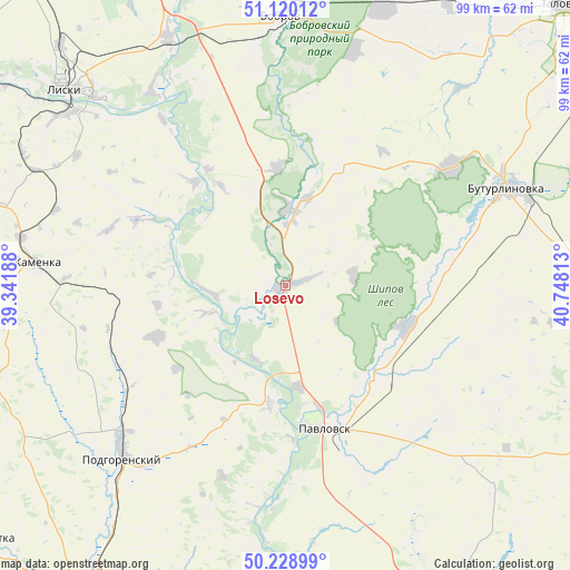
Losevo GPS coordinates[2]
50° 40' 36.012" North, 40° 2' 42" East
| Map corner | latitude | longitude |
|---|---|---|
| Upper-left | 51.12012°, | 39.34188° |
| Center: | 50.67667°, | 40.045° |
| Lower-right: | 50.22899°, | 40.74813° |
| Map W x H: | 99.1×99.1 km | = 61.6×61.6mi |
| max Lat: | 73.50819° ⇑76.1% North |
| Losevo: | 50.67667° |
| min Lat: | ⇓23.9% South 41.28413° |
| min Long | Losevo | max Long |
| -179.12198° | 40.045° | 179.35046° |
| W 32.7%⇐ | ⇒67.3% E |
Elevation
Elevation of Losevo is 84 m = 276 ft, and this is 118.6 m = 389 ft below average elevation for this country.
| Max E: |
2518 m = 8261 ft | 76.1% |
| Avg. | 202.6 m = 665 ft | |
| Losevo | 84 m = 276 ft | |
Min E: |
-28 m = -92 ft | 23.9% |
See also: Russia elevation on elevation.city.
Geographical zone
Losevo is located in North temperate zone (between Tropic of Cancer and the Arctic Circle). Distance of this North polar circle is 1766.5 km =1097.7 mi to North.| Distance of | km | miles | from Losevo |
|---|---|---|---|
| North Pole | 4372.3 | 2716.8 | to North |
| Arctic Circle | 1766.5 | 1097.7 | to North |
| Tropic Cancer | 3028.8 | 1882 | to South |
| Equator | 5634.7 | 3501.2 | to South |


Nearby cities:
15 places around Losevo: (largest is in red/bold)
• Belogor’ye
20.9 km =13 mi,  186°
186°
• Bobrov
46.6 km =29 mi,  358°
358°
• Buturlinovka
42.9 km =26.7 mi,  67°
67°
• Imeni Pervogo Maya
39.7 km =24.7 mi,  306°
306°
• Kamenka
44.1 km =27.4 mi,  275°
275°
• Khrenovoye
52.2 km =32.4 mi,  19°
19°
• Kozlovka
35.5 km =22.1 mi,  54°
54°
• Liski
50.5 km =31.4 mi, 312°
• Nizhniy Kislyay
21.2 km =13.2 mi, 24°
• Pavlovsk
24.7 km =15.3 mi,  169°
169°
• Podgorenskiy
41.5 km =25.8 mi,  223°
223°
• Podgornoye
42 km =26.1 mi,  226°
226°
• Sloboda
54.8 km =34.1 mi, 19°
• Sredniy Ikorets
47.9 km =29.8 mi,  335°
335°
• Vorontsovka
23 km =14.3 mi,  107°
107°
Sources, notices
• [Note1] Compared only with cities in Russia existing in our database
• [Src1] Map data: © OpenStreetMap contributors (CC-BY-SA)
• [Src2] Other city data from geonames.org with taken over terms of usage.
• [Src3] Geographical zone / Annual Mean Temperature by Robert A. Rohde @ Wikipedia
