Kalashnikovo geodata
Kalashnikovo (Tver’ Oblast) is a populated place; located in Russia in Europe/Moscow (GMT+3) time zone. With population of 5,032 people, there are 2645 cities with bigger population in this country. Compared to other cities in Russia, 78.9% of cities are located further ↓South; 88.7% of cities are located further →East and 71.9% of cities have lower elevation than Kalashnikovo. Note1


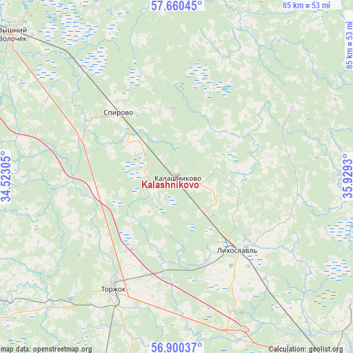
Kalashnikovo GPS coordinates[2]
57° 16' 56.532" North, 35° 13' 34.212" East
| Map corner | latitude | longitude |
|---|---|---|
| Upper-left | 57.66045°, | 34.52305° |
| Center: | 57.28237°, | 35.22617° |
| Lower-right: | 56.90037°, | 35.9293° |
| Map W x H: | 84.5×84.5 km | = 52.5×52.5mi |
| max Lat: | 73.50819° ⇑21.1% North |
| Kalashnikovo: | 57.28237° |
| min Lat: | ⇓78.9% South 41.28413° |
| min Long | Kalashnikovo | max Long |
| -179.12198° | 35.22617° | 179.35046° |
| W 11.3%⇐ | ⇒88.7% E |
Elevation
Elevation of Kalashnikovo is 204 m = 669 ft, and this is 1.4 m = 5 ft above average elevation for this country.
| Max E: |
2518 m = 8261 ft | 28.1% |
| Kalashnikovo | 204 m 669 ft | |
| Avg. | 202.6 m = 665 ft | |
Min E: |
-28 m = -92 ft | 71.9% |
See also: Russia elevation on elevation.city.
Geographical zone
Kalashnikovo is located in North temperate zone (between Tropic of Cancer and the Arctic Circle). Distance of this North polar circle is 1032 km =641.3 mi to North.| Distance of | km | miles | from Kalashnikovo |
|---|---|---|---|
| North Pole | 3637.9 | 2260.5 | to North |
| Arctic Circle | 1032 | 641.3 | to North |
| Tropic Cancer | 3763.3 | 2338.4 | to South |
| Equator | 6369.2 | 3957.6 | to South |


Nearby cities:
15 places around Kalashnikovo: (largest is in red/bold)
• Gruziny
40.1 km =24.9 mi,  195°
195°
• Krasnomayskiy
61.6 km =38.3 mi,  307°
307°
• Kuvshinovo
69.5 km =43.2 mi,  246°
246°
• Likhoslavl’
22.4 km =13.9 mi,  140°
140°
• Maksatikha
69.3 km =43.1 mi,  34°
34°
• Orsha
73.2 km =45.5 mi,  124°
124°
• Rameshki
49.7 km =30.9 mi,  82°
82°
• Sakharovo
65.5 km =40.7 mi,  130°
130°
• Spirovo
21.3 km =13.2 mi,  315°
315°
• Torzhok
31 km =19.3 mi,  210°
210°
• Tver
62.3 km =38.7 mi, 139°
• Udomlya
67.8 km =42.1 mi,  348°
348°
• Vasil’yevskiy Mokh
51.4 km =31.9 mi, 125°
• Vydropuzhsk
24.8 km =15.4 mi,  291°
291°
• Vyshniy Volochëk
52.4 km =32.6 mi, 310°
Sources, notices
• [Note1] Compared only with cities in Russia existing in our database
• [Src1] Map data: © OpenStreetMap contributors (CC-BY-SA)
• [Src2] Other city data from geonames.org with taken over terms of usage.
• [Src3] Geographical zone / Annual Mean Temperature by Robert A. Rohde @ Wikipedia
