Tver geodata
Tver (Tver’ Oblast) is a seat of a first-order administrative division; located in Russia in Europe/Moscow (GMT+3) time zone. With population of 400,212 people, there are 46 cities with bigger population in this country. Compared to other cities in Russia, 76% of cities are located further ↓South; 87.7% of cities are located further →East and 56.2% of cities have higher elevation than Tver. Note1


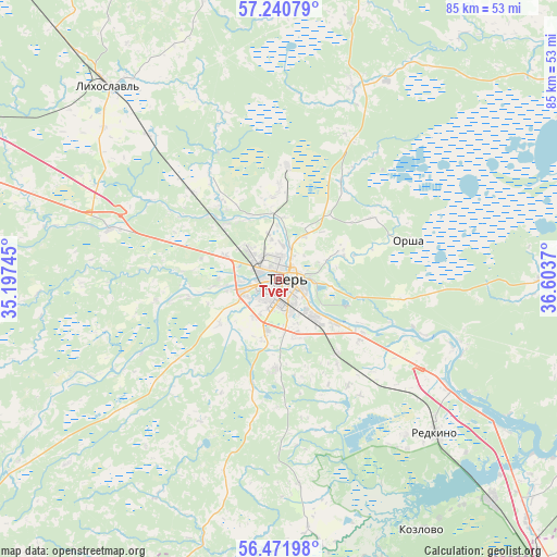
Tver GPS coordinates[2]
56° 51' 30.096" North, 35° 54' 2.052" East
| Map corner | latitude | longitude |
|---|---|---|
| Upper-left | 57.24079°, | 35.19745° |
| Center: | 56.85836°, | 35.90057° |
| Lower-right: | 56.47198°, | 36.6037° |
| Map W x H: | 85.5×85.5 km | = 53.1×53.1mi |
| max Lat: | 73.50819° ⇑24% North |
| Tver: | 56.85836° |
| min Lat: | ⇓76% South 41.28413° |
| min Long | Tver | max Long |
| -179.12198° | 35.90057° | 179.35046° |
| W 12.3%⇐ | ⇒87.7% E |
Elevation
Elevation of Tver is 132 m = 433 ft, and this is 70.6 m = 232 ft below average elevation for this country.
| Max E: |
2518 m = 8261 ft | 56.2% |
| Avg. | 202.6 m = 665 ft | |
| Tver | 132 m = 433 ft | |
Min E: |
-28 m = -92 ft | 43.8% |
See also: Tver elevation on elevation.city.
Geographical zone
Tver is located in North temperate zone (between Tropic of Cancer and the Arctic Circle). Distance of this North polar circle is 1079.1 km =670.5 mi to North.| Distance of | km | miles | from Tver |
|---|---|---|---|
| North Pole | 3685 | 2289.8 | to North |
| Arctic Circle | 1079.1 | 670.5 | to North |
| Tropic Cancer | 3716.1 | 2309.1 | to South |
| Equator | 6322.1 | 3928.4 | to South |


Nearby cities:
15 places around Tver: (largest is in red/bold)
• Emmaus
15.7 km =9.8 mi,  123°
123°
• Gorodnya
30.6 km =19 mi, 123°
• Gruziny
52.7 km =32.7 mi,  279°
279°
• Izoplit
32.5 km =20.2 mi,  142°
142°
• Kozlovo
44.9 km =27.9 mi,  149°
149°
• Likhoslavl’
39.9 km =24.8 mi,  318°
318°
• Mikulino
48.6 km =30.2 mi,  201°
201°
• Novozavidovskiy
47.3 km =29.4 mi, 136°
• Orsha
20.8 km =12.9 mi,  73°
73°
• Radchenko
34.9 km =21.7 mi, 124°
• Redkino
33.7 km =20.9 mi,  134°
134°
• Sakharovo
10.2 km =6.3 mi,  63°
63°
• Sukhoverkovo
33 km =20.5 mi,  218°
218°
• Vasil’yevskiy Mokh
17.2 km =10.7 mi,  3°
3°
• Zavidovo
52.9 km =32.9 mi, 133°
Sources, notices
• [Note1] Compared only with cities in Russia existing in our database
• [Src1] Map data: © OpenStreetMap contributors (CC-BY-SA)
• [Src2] Other city data from geonames.org with taken over terms of usage.
• [Src3] Geographical zone / Annual Mean Temperature by Robert A. Rohde @ Wikipedia
