Cherëmukhovo geodata
Cherëmukhovo (Sverdlovsk) is a populated place; located in Russia in Asia/Yekaterinburg (GMT+5) time zone. With population of 7,270 people, there are 1939 cities with bigger population in this country. Compared to other cities in Russia, 91.8% of cities are located further ↓South; 71.6% of cities are located further ←West and 68% of cities have lower elevation than Cherëmukhovo. Note1


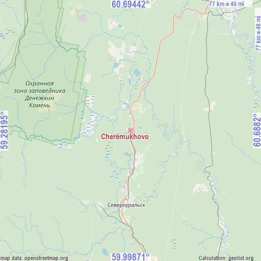
Cherëmukhovo GPS coordinates[2]
60° 20' 54.312" North, 59° 59' 6.252" East
| Map corner | latitude | longitude |
|---|---|---|
| Upper-left | 60.69442°, | 59.28195° |
| Center: | 60.34842°, | 59.98507° |
| Lower-right: | 59.99871°, | 60.6882° |
| Map W x H: | 77.4×77.4 km | = 48.1×48.1mi |
| max Lat: | 73.50819° ⇑8.2% North |
| Cherëmukhovo: | 60.34842° |
| min Lat: | ⇓91.8% South 41.28413° |
| min Long | Cherëmukhovo | max Long |
| -179.12198° | 59.98507° | 179.35046° |
| W 71.6%⇐ | ⇒28.4% E |
Elevation
Elevation of Cherëmukhovo is 191 m = 627 ft, and this is 11.6 m = 38 ft below average elevation for this country.
| Max E: |
2518 m = 8261 ft | 32% |
| Avg. | 202.6 m = 665 ft | |
| Cherëmukhovo | 191 m = 627 ft | |
Min E: |
-28 m = -92 ft | 68% |
See also: Russia elevation on elevation.city.
Geographical zone
Cherëmukhovo is located in North temperate zone (between Tropic of Cancer and the Arctic Circle). Distance of this North polar circle is 691.1 km =429.4 mi to North.| Distance of | km | miles | from Cherëmukhovo |
|---|---|---|---|
| North Pole | 3296.9 | 2048.6 | to North |
| Arctic Circle | 691.1 | 429.4 | to North |
| Tropic Cancer | 4104.2 | 2550.2 | to South |
| Equator | 6710.1 | 4169.5 | to South |


Nearby cities:
15 places around Cherëmukhovo: (largest is in red/bold)
• Ivdel’
44.9 km =27.9 mi,  32°
32°
• Karpinsk
64.3 km =40 mi,  179°
179°
• Krasnotur’insk
65.9 km =40.9 mi,  169°
169°
• Kytlym
104 km =64.6 mi,  204°
204°
• Lobva
132.7 km =82.5 mi, 166°
• Ous
104.1 km =64.7 mi,  53°
53°
• Pavda
125.4 km =77.9 mi,  192°
192°
• Pelym
132 km =82 mi,  56°
56°
• Polunochnoye
62.5 km =38.8 mi,  22°
22°
• Rudnichnyy
73.9 km =45.9 mi, 166°
• Serov
89.2 km =55.4 mi,  158°
158°
• Severoural’sk
21.8 km =13.5 mi, 184°
• Tretiy Severnyy
15.6 km =9.7 mi, 184°
• Volchansk
46 km =28.6 mi, 173°
• Vorontsovka
78 km =48.5 mi, 169°
Sources, notices
• [Note1] Compared only with cities in Russia existing in our database
• [Src1] Map data: © OpenStreetMap contributors (CC-BY-SA)
• [Src2] Other city data from geonames.org with taken over terms of usage.
• [Src3] Geographical zone / Annual Mean Temperature by Robert A. Rohde @ Wikipedia
