Lobva geodata
Lobva (Sverdlovsk) is a populated place; located in Russia in Asia/Yekaterinburg (GMT+5) time zone. With population of 8,403 people, there are 1735 cities with bigger population in this country. Compared to other cities in Russia, 87% of cities are located further ↓South; 72.5% of cities are located further ←West and 71% of cities have higher elevation than Lobva. Note1


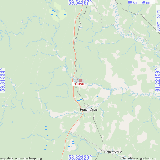
Lobva GPS coordinates[2]
59° 11' 7.368" North, 60° 31' 6.456" East
| Map corner | latitude | longitude |
|---|---|---|
| Upper-left | 59.54367°, | 59.81534° |
| Center: | 59.18538°, | 60.51846° |
| Lower-right: | 58.82329°, | 61.22159° |
| Map W x H: | 80.1×80.1 km | = 49.8×49.8mi |
| max Lat: | 73.50819° ⇑13% North |
| Lobva: | 59.18538° |
| min Lat: | ⇓87% South 41.28413° |
| min Long | Lobva | max Long |
| -179.12198° | 60.51846° | 179.35046° |
| W 72.5%⇐ | ⇒27.5% E |
Elevation
Elevation of Lobva is 100 m = 328 ft, and this is 102.6 m = 337 ft below average elevation for this country.
| Max E: |
2518 m = 8261 ft | 71% |
| Avg. | 202.6 m = 665 ft | |
| Lobva | 100 m = 328 ft | |
Min E: |
-28 m = -92 ft | 29% |
See also: Russia elevation on elevation.city.
Geographical zone
Lobva is located in North temperate zone (between Tropic of Cancer and the Arctic Circle). Distance of this North polar circle is 820.4 km =509.8 mi to North.| Distance of | km | miles | from Lobva |
|---|---|---|---|
| North Pole | 3426.3 | 2129 | to North |
| Arctic Circle | 820.4 | 509.8 | to North |
| Tropic Cancer | 3974.9 | 2469.9 | to South |
| Equator | 6580.8 | 4089.1 | to South |


Nearby cities:
15 places around Lobva: (largest is in red/bold)
• Is
63.5 km =39.5 mi,  226°
226°
• Kachkanar
80.2 km =49.8 mi, 227°
• Karpinsk
71.4 km =44.4 mi,  335°
335°
• Krasnotur’insk
67 km =41.6 mi, 344°
• Lesnoy
73.6 km =45.7 mi,  213°
213°
• Nizhnyaya Tura
74 km =46 mi, 213°
• Novaya Lyalya
15.2 km =9.4 mi,  162°
162°
• Pavda
57.4 km =35.7 mi,  276°
276°
• Rudnichnyy
58.8 km =36.5 mi,  347°
347°
• Serov
46.6 km =29 mi,  4°
4°
• Sos’va
76.2 km =47.3 mi,  90°
90°
• Valerianovsk
72.4 km =45 mi, 229°
• Verkhotur’ye
39.5 km =24.5 mi, 155°
• Vorontsovka
54.9 km =34.1 mi, 343°
• Yëlkino
67.5 km =41.9 mi,  215°
215°
Sources, notices
• [Note1] Compared only with cities in Russia existing in our database
• [Src1] Map data: © OpenStreetMap contributors (CC-BY-SA)
• [Src2] Other city data from geonames.org with taken over terms of usage.
• [Src3] Geographical zone / Annual Mean Temperature by Robert A. Rohde @ Wikipedia
