Bogoslovka geodata
Bogoslovka (Penza) is a populated place; located in Russia in Europe/Moscow (GMT+3) time zone. With population of 4,636 people, there are 2807 cities with bigger population in this country. Compared to other cities in Russia, 61.4% of cities are located further ↑North; 50.5% of cities are located further →East and 72.6% of cities have lower elevation than Bogoslovka. Note1


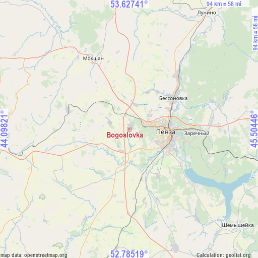
Bogoslovka GPS coordinates[2]
53° 12' 30.132" North, 44° 48' 4.788" East
| Map corner | latitude | longitude |
|---|---|---|
| Upper-left | 53.62741°, | 44.09821° |
| Center: | 53.20837°, | 44.80133° |
| Lower-right: | 52.78519°, | 45.50446° |
| Map W x H: | 93.6×93.6 km | = 58.2×58.2mi |
| max Lat: | 73.50819° ⇑61.4% North |
| Bogoslovka: | 53.20837° |
| min Lat: | ⇓38.6% South 41.28413° |
| min Long | Bogoslovka | max Long |
| -179.12198° | 44.80133° | 179.35046° |
| W 49.5%⇐ | ⇒50.5% E |
Elevation
Elevation of Bogoslovka is 207 m = 679 ft, and this is 4.4 m = 14 ft above average elevation for this country.
| Max E: |
2518 m = 8261 ft | 27.4% |
| Bogoslovka | 207 m 679 ft | |
| Avg. | 202.6 m = 665 ft | |
Min E: |
-28 m = -92 ft | 72.6% |
See also: Russia elevation on elevation.city.
Geographical zone
Bogoslovka is located in North temperate zone (between Tropic of Cancer and the Arctic Circle). Distance of this North polar circle is 1485 km =922.7 mi to North.| Distance of | km | miles | from Bogoslovka |
|---|---|---|---|
| North Pole | 4090.8 | 2541.9 | to North |
| Arctic Circle | 1485 | 922.7 | to North |
| Tropic Cancer | 3310.3 | 2056.9 | to South |
| Equator | 5916.2 | 3676.2 | to South |


Nearby cities:
15 places around Bogoslovka: (largest is in red/bold)
• Bessonovka
19.5 km =12.1 mi,  54°
54°
• Chemodanovka
29.8 km =18.5 mi,  85°
85°
• Gorodishche
60.4 km =37.5 mi,  82°
82°
• Grabovo
26.5 km =16.5 mi,  41°
41°
• Kanayevka
51.9 km =32.2 mi,  102°
102°
• Kolyshley
59.2 km =36.8 mi,  197°
197°
• Kondol’
46.6 km =29 mi,  158°
158°
• Lunino
51.1 km =31.8 mi,  33°
33°
• Mokshan
28.3 km =17.6 mi,  333°
333°
• Penza
13.6 km =8.5 mi, 93°
• Shemysheyka
52.9 km =32.9 mi,  131°
131°
• Sursk
60.7 km =37.7 mi, 104°
• Verkhozim
68.9 km =42.8 mi,  143°
143°
• Zarechnyy
26 km =16.2 mi, 91°
• Zasechnoye
21.6 km =13.4 mi,  120°
120°
Sources, notices
• [Note1] Compared only with cities in Russia existing in our database
• [Src1] Map data: © OpenStreetMap contributors (CC-BY-SA)
• [Src2] Other city data from geonames.org with taken over terms of usage.
• [Src3] Geographical zone / Annual Mean Temperature by Robert A. Rohde @ Wikipedia
