Baturinskaya geodata
Baturinskaya (Krasnodarskiy) is a populated place; located in Russia in Europe/Moscow (GMT+3) time zone. With population of 3,678 people, there are 3286 cities with bigger population in this country. Compared to other cities in Russia, 84.7% of cities are located further ↑North; 70.7% of cities are located further →East and 94% of cities have higher elevation than Baturinskaya. Note1


Baturinskaya GPS coordinates[2]
45° 47' 33.612" North, 39° 22' 14.34" East
| Map corner | latitude | longitude |
|---|---|---|
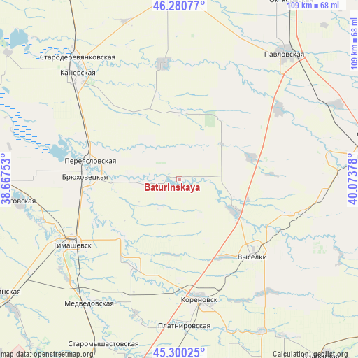
| Upper-left | 46.28077°, | 38.66753° |
| Center: | 45.79267°, | 39.37065° |
| Lower-right: | 45.30025°, | 40.07378° |
| Map W x H: | 109×109 km | = 67.7×67.7mi |
| max Lat: | 73.50819° ⇑84.7% North |
| Baturinskaya: | 45.79267° |
| min Lat: | ⇓15.3% South 41.28413° |
| min Long | Baturinskaya | max Long |
| -179.12198° | 39.37065° | 179.35046° |
| W 29.3%⇐ | ⇒70.7% E |
Elevation
Elevation of Baturinskaya is 15 m = 49 ft, and this is 187.6 m = 615 ft below average elevation for this country.
| Max E: |
2518 m = 8261 ft | 94% |
| Avg. | 202.6 m = 665 ft | |
| Baturinskaya | 15 m = 49 ft | |
Min E: |
-28 m = -92 ft | 6% |
See also: Russia elevation on elevation.city.
Geographical zone
Baturinskaya is located in North temperate zone (between Tropic of Cancer and the Arctic Circle). Distance of this North polar circle is 2309.5 km =1435.1 mi to North.| Distance of | km | miles | from Baturinskaya |
|---|---|---|---|
| North Pole | 4915.4 | 3054.3 | to North |
| Arctic Circle | 2309.5 | 1435.1 | to North |
| Tropic Cancer | 2485.7 | 1544.5 | to South |
| Equator | 5091.7 | 3163.8 | to South |


Nearby cities:
15 places around Baturinskaya: (largest is in red/bold)
• Berezanskaya
19.8 km =12.3 mi,  119°
119°
• Bryukhovetskaya
28.8 km =17.9 mi,  272°
272°
• Chelbasskaya
20.7 km =12.9 mi,  0°
0°
• Irkliyevskaya
23.1 km =14.4 mi,  72°
72°
• Korenovsk
36.5 km =22.7 mi,  170°
170°
• Krylovskaya
35.6 km =22.1 mi,  351°
351°
• Lenina
44.1 km =27.4 mi,  46°
46°
• Novokorsunskaya
24.3 km =15.1 mi,  225°
225°
• Novomalorossiyskaya
44.3 km =27.5 mi,  113°
113°
• Novoplatnirovskaya
35.1 km =21.8 mi,  6°
6°
• Pereyaslovskaya
27.4 km =17 mi,  281°
281°
• Platnirovskaya
44.2 km =27.5 mi,  178°
178°
• Staroleushkovskaya
37 km =23 mi, 54°
• Timashëvsk
38.4 km =23.9 mi,  239°
239°
• Vyselki
32.7 km =20.3 mi,  135°
135°
Sources, notices
• [Note1] Compared only with cities in Russia existing in our database
• [Src1] Map data: © OpenStreetMap contributors (CC-BY-SA)
• [Src2] Other city data from geonames.org with taken over terms of usage.
• [Src3] Geographical zone / Annual Mean Temperature by Robert A. Rohde @ Wikipedia
