Zelenogorskiy geodata
Zelenogorskiy (Kemerovo Oblast) is a populated place; located in Russia in Asia/Novokuznetsk (GMT+7) time zone. With population of 5,249 people, there are 2531 cities with bigger population in this country. Compared to other cities in Russia, 53.7% of cities are located further ↓South; 84.5% of cities are located further ←West and 73.7% of cities have lower elevation than Zelenogorskiy. Note1


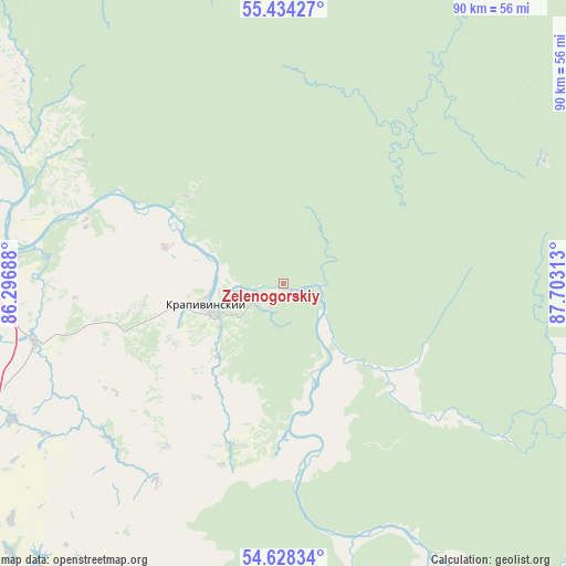
Zelenogorskiy GPS coordinates[2]
55° 1' 59.988" North, 87° 0' 0" East
| Map corner | latitude | longitude |
|---|---|---|
| Upper-left | 55.43427°, | 86.29688° |
| Center: | 55.03333°, | 87° |
| Lower-right: | 54.62834°, | 87.70313° |
| Map W x H: | 89.6×89.6 km | = 55.7×55.7mi |
| max Lat: | 73.50819° ⇑46.3% North |
| Zelenogorskiy: | 55.03333° |
| min Lat: | ⇓53.7% South 41.28413° |
| min Long | Zelenogorskiy | max Long |
| -179.12198° | 87° | 179.35046° |
| W 84.5%⇐ | ⇒15.5% E |
Elevation
Elevation of Zelenogorskiy is 211 m = 692 ft, and this is 8.4 m = 28 ft above average elevation for this country.
| Max E: |
2518 m = 8261 ft | 26.3% |
| Zelenogorskiy | 211 m 692 ft | |
| Avg. | 202.6 m = 665 ft | |
Min E: |
-28 m = -92 ft | 73.7% |
See also: Russia elevation on elevation.city.
Geographical zone
Zelenogorskiy is located in North temperate zone (between Tropic of Cancer and the Arctic Circle). Distance of this North polar circle is 1282 km =796.6 mi to North.| Distance of | km | miles | from Zelenogorskiy |
|---|---|---|---|
| North Pole | 3887.9 | 2415.8 | to North |
| Arctic Circle | 1282 | 796.6 | to North |
| Tropic Cancer | 3513.2 | 2183 | to South |
| Equator | 6119.1 | 3802.2 | to South |


Nearby cities:
15 places around Zelenogorskiy: (largest is in red/bold)
• Borovoy
73.2 km =45.5 mi,  307°
307°
• Gramoteino
67.9 km =42.2 mi,  215°
215°
• Inskoy
76.1 km =47.3 mi,  208°
208°
• Kemerovo
67.1 km =41.7 mi,  299°
299°
• Krapivinskiy
12.5 km =7.8 mi,  252°
252°
• Krasnogorskiy
71 km =44.1 mi, 220°
• Leninsk-Kuznetsky
67.5 km =41.9 mi,  231°
231°
• Nikitinskiy
80.6 km =50.1 mi, 231°
• Pioner
73.7 km =45.8 mi, 295°
• Plotnikovo
67.3 km =41.8 mi,  269°
269°
• Polysayevo
68.1 km =42.3 mi, 225°
• Promyshlennovskiy
71.2 km =44.2 mi, 314°
• Staropesterevo
70.4 km =43.7 mi, 212°
• Yagunovo
67.2 km =41.8 mi,  290°
290°
• Yagunovskiy
70.6 km =43.9 mi, 293°
Sources, notices
• [Note1] Compared only with cities in Russia existing in our database
• [Src1] Map data: © OpenStreetMap contributors (CC-BY-SA)
• [Src2] Other city data from geonames.org with taken over terms of usage.
• [Src3] Geographical zone / Annual Mean Temperature by Robert A. Rohde @ Wikipedia
