Yalutorovsk geodata
Yalutorovsk (Tyumen’ Oblast) is a populated place; located in Russia in Asia/Yekaterinburg (GMT+5) time zone. With population of 35,892 people, there are 570 cities with bigger population in this country. Compared to other cities in Russia, 74% of cities are located further ↓South; 76.4% of cities are located further ←West and 81.9% of cities have higher elevation than Yalutorovsk. Note1


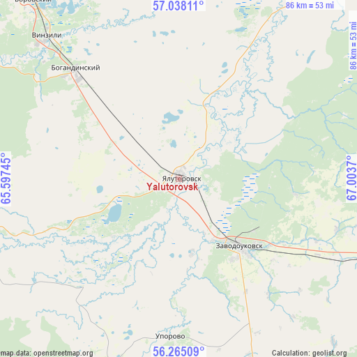
Yalutorovsk GPS coordinates[2]
56° 39' 12.888" North, 66° 18' 2.052" East
| Map corner | latitude | longitude |
|---|---|---|
| Upper-left | 57.03811°, | 65.59745° |
| Center: | 56.65358°, | 66.30057° |
| Lower-right: | 56.26509°, | 67.0037° |
| Map W x H: | 86×85.9 km | = 53.4×53.4mi |
| max Lat: | 73.50819° ⇑26% North |
| Yalutorovsk: | 56.65358° |
| min Lat: | ⇓74% South 41.28413° |
| min Long | Yalutorovsk | max Long |
| -179.12198° | 66.30057° | 179.35046° |
| W 76.4%⇐ | ⇒23.6% E |
Elevation
Elevation of Yalutorovsk is 64 m = 210 ft, and this is 138.6 m = 455 ft below average elevation for this country.
| Max E: |
2518 m = 8261 ft | 81.9% |
| Avg. | 202.6 m = 665 ft | |
| Yalutorovsk | 64 m = 210 ft | |
Min E: |
-28 m = -92 ft | 18.1% |
See also: Russia elevation on elevation.city.
Geographical zone
Yalutorovsk is located in North temperate zone (between Tropic of Cancer and the Arctic Circle). Distance of this North polar circle is 1101.9 km =684.7 mi to North.| Distance of | km | miles | from Yalutorovsk |
|---|---|---|---|
| North Pole | 3707.8 | 2303.9 | to North |
| Arctic Circle | 1101.9 | 684.7 | to North |
| Tropic Cancer | 3693.4 | 2295 | to South |
| Equator | 6299.3 | 3914.2 | to South |


Nearby cities:
15 places around Yalutorovsk: (largest is in red/bold)
• Antipino
60.2 km =37.4 mi,  326°
326°
• Bogandinskiy
36.4 km =22.6 mi,  317°
317°
• Borovskiy
55.7 km =34.6 mi, 320°
• Chervishevo
62.3 km =38.7 mi,  301°
301°
• Isetskoye
62.7 km =39 mi,  252°
252°
• Melioratorov
74.9 km =46.5 mi, 325°
• Moskovskiy
73.7 km =45.8 mi,  313°
313°
• Novaya Zaimka
42.5 km =26.4 mi,  116°
116°
• Onokhino
55.3 km =34.4 mi, 303°
• Tyumen
72.7 km =45.2 mi, 319°
• Uporovo
38.1 km =23.7 mi,  182°
182°
• Vinzili
46.9 km =29.1 mi, 316°
• Yurginskoye
69.1 km =42.9 mi,  74°
74°
• Zavodoukovsk
22.6 km =14 mi,  137°
137°
• Zavodouspenskoye
81.7 km =50.8 mi,  286°
286°
Sources, notices
• [Note1] Compared only with cities in Russia existing in our database
• [Src1] Map data: © OpenStreetMap contributors (CC-BY-SA)
• [Src2] Other city data from geonames.org with taken over terms of usage.
• [Src3] Geographical zone / Annual Mean Temperature by Robert A. Rohde @ Wikipedia
