Tselinnoye geodata
Tselinnoye (Altai Krai) is a populated place; located in Russia in Asia/Barnaul (GMT+7) time zone. With population of 5,836 people, there are 2321 cities with bigger population in this country. Compared to other cities in Russia, 62.4% of cities are located further ↑North; 82.9% of cities are located further ←West and 78.4% of cities have lower elevation than Tselinnoye. Note1


Tselinnoye GPS coordinates[2]
53° 4' 41.592" North, 85° 39' 13.068" East
| Map corner | latitude | longitude |
|---|---|---|
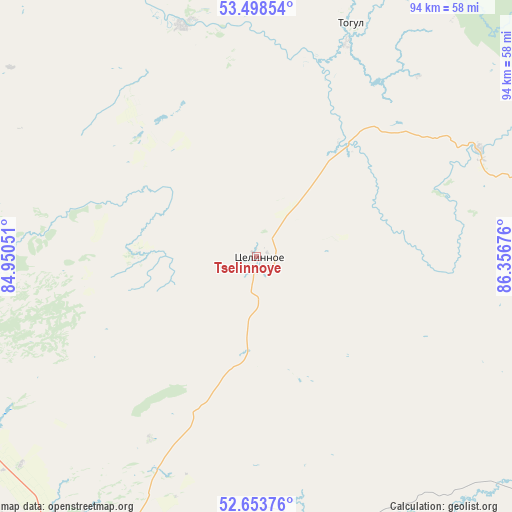
| Upper-left | 53.49854°, | 84.95051° |
| Center: | 53.07822°, | 85.65363° |
| Lower-right: | 52.65376°, | 86.35676° |
| Map W x H: | 93.9×93.9 km | = 58.3×58.3mi |
| max Lat: | 73.50819° ⇑62.4% North |
| Tselinnoye: | 53.07822° |
| min Lat: | ⇓37.6% South 41.28413° |
| min Long | Tselinnoye | max Long |
| -179.12198° | 85.65363° | 179.35046° |
| W 82.9%⇐ | ⇒17.1% E |
Elevation
Elevation of Tselinnoye is 237 m = 778 ft, and this is 34.4 m = 113 ft above average elevation for this country.
| Max E: |
2518 m = 8261 ft | 21.6% |
| Tselinnoye | 237 m 778 ft | |
| Avg. | 202.6 m = 665 ft | |
Min E: |
-28 m = -92 ft | 78.4% |
See also: Russia elevation on elevation.city.
Geographical zone
Tselinnoye is located in North temperate zone (between Tropic of Cancer and the Arctic Circle). Distance of this North polar circle is 1499.4 km =931.7 mi to North.| Distance of | km | miles | from Tselinnoye |
|---|---|---|---|
| North Pole | 4105.3 | 2550.9 | to North |
| Arctic Circle | 1499.4 | 931.7 | to North |
| Tropic Cancer | 3295.8 | 2047.9 | to South |
| Equator | 5901.7 | 3667.1 | to South |


Nearby cities:
15 places around Tselinnoye: (largest is in red/bold)
• Antipino
27.4 km =17 mi,  25°
25°
• Karabinka
59.1 km =36.7 mi,  137°
137°
• Kytmanovo
44.5 km =27.7 mi,  342°
342°
• Martynovo
26 km =16.2 mi,  36°
36°
• Neninka
58 km =36 mi, 140°
• Novikovo
54.8 km =34.1 mi,  157°
157°
• Pervomayskoye
59.6 km =37 mi,  206°
206°
• Pushtulim
53.5 km =33.2 mi,  74°
74°
• Stan-Bekhtemir
52.5 km =32.6 mi,  182°
182°
• Staryy Togul
42.3 km =26.3 mi,  22°
22°
• Sukhaya Chemrovka
43.1 km =26.8 mi,  203°
203°
• Togul
46.5 km =28.9 mi, 21°
• Usyatskoye
57.2 km =35.5 mi,  172°
172°
• Verkh-Marushka
18 km =11.2 mi,  185°
185°
• Verkhniy Bekhtemir
38.8 km =24.1 mi,  153°
153°
Sources, notices
• [Note1] Compared only with cities in Russia existing in our database
• [Src1] Map data: © OpenStreetMap contributors (CC-BY-SA)
• [Src2] Other city data from geonames.org with taken over terms of usage.
• [Src3] Geographical zone / Annual Mean Temperature by Robert A. Rohde @ Wikipedia
