Tayzhina geodata
Tayzhina (Kemerovo Oblast) is a populated place; located in Russia in Asia/Novokuznetsk (GMT+7) time zone. With population of 5,063 people, there are 2632 cities with bigger population in this country. Compared to other cities in Russia, 57.7% of cities are located further ↑North; 84.8% of cities are located further ←West and 85.7% of cities have lower elevation than Tayzhina. Note1


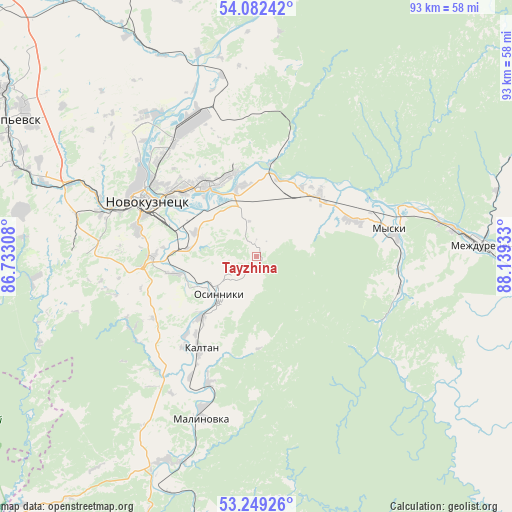
Tayzhina GPS coordinates[2]
53° 40' 4.44" North, 87° 26' 10.32" East
| Map corner | latitude | longitude |
|---|---|---|
| Upper-left | 54.08242°, | 86.73308° |
| Center: | 53.6679°, | 87.4362° |
| Lower-right: | 53.24926°, | 88.13933° |
| Map W x H: | 92.6×92.6 km | = 57.5×57.5mi |
| max Lat: | 73.50819° ⇑57.7% North |
| Tayzhina: | 53.6679° |
| min Lat: | ⇓42.3% South 41.28413° |
| min Long | Tayzhina | max Long |
| -179.12198° | 87.4362° | 179.35046° |
| W 84.8%⇐ | ⇒15.2% E |
Elevation
Elevation of Tayzhina is 337 m = 1106 ft, and this is 134.4 m = 441 ft above average elevation for this country.
| Max E: |
2518 m = 8261 ft | 14.3% |
| Tayzhina | 337 m 1106 ft | |
| Avg. | 202.6 m = 665 ft | |
Min E: |
-28 m = -92 ft | 85.7% |
See also: Russia elevation on elevation.city.
Geographical zone
Tayzhina is located in North temperate zone (between Tropic of Cancer and the Arctic Circle). Distance of this North polar circle is 1433.9 km =891 mi to North.| Distance of | km | miles | from Tayzhina |
|---|---|---|---|
| North Pole | 4039.8 | 2510.2 | to North |
| Arctic Circle | 1433.9 | 891 | to North |
| Tropic Cancer | 3361.4 | 2088.7 | to South |
| Equator | 5967.3 | 3707.9 | to South |


Nearby cities:
15 places around Tayzhina: (largest is in red/bold)
• Abagur
14 km =8.7 mi,  300°
300°
• Chistogorskiy
35.3 km =21.9 mi,  354°
354°
• Kaltan
19.4 km =12.1 mi,  220°
220°
• Kiselëvsk
62.2 km =38.6 mi,  305°
305°
• Kuzedeyevo
40.6 km =25.2 mi,  202°
202°
• Listvyagi
32 km =19.9 mi,  271°
271°
• Mezhdurechensk
41.2 km =25.6 mi,  85°
85°
• Mundybash
51.6 km =32.1 mi,  190°
190°
• Myski
24.5 km =15.2 mi,  79°
79°
• Novokuznetsk
23.6 km =14.7 mi,  294°
294°
• Osinniki
7 km =4.3 mi,  225°
225°
• Pritomskiy
16.2 km =10.1 mi,  44°
44°
• Prokop’yevsk
54 km =33.6 mi, 299°
• Sosnovka
18.7 km =11.6 mi, 269°
• Temirtau
59 km =36.7 mi,  178°
178°
Sources, notices
• [Note1] Compared only with cities in Russia existing in our database
• [Src1] Map data: © OpenStreetMap contributors (CC-BY-SA)
• [Src2] Other city data from geonames.org with taken over terms of usage.
• [Src3] Geographical zone / Annual Mean Temperature by Robert A. Rohde @ Wikipedia
