Souskanikha geodata
Souskanikha (Altai Krai) is a populated place; located in Russia in Asia/Barnaul (GMT+7) time zone. With population of 720 people, there are 4796 cities with bigger population in this country. Compared to other cities in Russia, 65.8% of cities are located further ↑North; 83.5% of cities are located further ←West and 68.4% of cities have lower elevation than Souskanikha. Note1


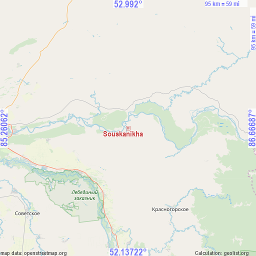
Souskanikha GPS coordinates[2]
52° 34' 0.084" North, 85° 57' 49.464" East
| Map corner | latitude | longitude |
|---|---|---|
| Upper-left | 52.992°, | 85.26062° |
| Center: | 52.56669°, | 85.96374° |
| Lower-right: | 52.13722°, | 86.66687° |
| Map W x H: | 95×95 km | = 59×59mi |
| max Lat: | 73.50819° ⇑65.8% North |
| Souskanikha: | 52.56669° |
| min Lat: | ⇓34.2% South 41.28413° |
| min Long | Souskanikha | max Long |
| -179.12198° | 85.96374° | 179.35046° |
| W 83.5%⇐ | ⇒16.5% E |
Elevation
Elevation of Souskanikha is 192 m = 630 ft, and this is 10.6 m = 35 ft below average elevation for this country.
| Max E: |
2518 m = 8261 ft | 31.6% |
| Avg. | 202.6 m = 665 ft | |
| Souskanikha | 192 m = 630 ft | |
Min E: |
-28 m = -92 ft | 68.4% |
See also: Russia elevation on elevation.city.
Geographical zone
Souskanikha is located in North temperate zone (between Tropic of Cancer and the Arctic Circle). Distance of this North polar circle is 1556.3 km =967 mi to North.| Distance of | km | miles | from Souskanikha |
|---|---|---|---|
| North Pole | 4162.2 | 2586.3 | to North |
| Arctic Circle | 1556.3 | 967 | to North |
| Tropic Cancer | 3238.9 | 2012.6 | to South |
| Equator | 5844.9 | 3631.9 | to South |


Nearby cities:
15 places around Souskanikha: (largest is in red/bold)
• Berëzovka
25.7 km =16 mi,  201°
201°
• Bystryanka
32.5 km =20.2 mi, 196°
• Karabinka
23.7 km =14.7 mi,  55°
55°
• Kokshi
35.4 km =22 mi,  234°
234°
• Krasnogorskoye
34.1 km =21.2 mi,  152°
152°
• Malougrenevo
42.2 km =26.2 mi,  268°
268°
• Neninka
19.8 km =12.3 mi,  53°
53°
• Novikovo
6.2 km =3.9 mi,  0°
0°
• Srostki
24.2 km =15 mi, 227°
• Stan-Bekhtemir
23.2 km =14.4 mi,  281°
281°
• Sukhaya Chemrovka
42.3 km =26.3 mi,  294°
294°
• Ust’-Isha
42.8 km =26.6 mi,  179°
179°
• Usyatskoye
13.7 km =8.5 mi, 270°
• Verkh-Katunskoye
38.3 km =23.8 mi,  250°
250°
• Verkhniy Bekhtemir
22.4 km =13.9 mi,  350°
350°
Sources, notices
• [Note1] Compared only with cities in Russia existing in our database
• [Src1] Map data: © OpenStreetMap contributors (CC-BY-SA)
• [Src2] Other city data from geonames.org with taken over terms of usage.
• [Src3] Geographical zone / Annual Mean Temperature by Robert A. Rohde @ Wikipedia
