Skottsund geodata
Skottsund (Västernorrland) is a populated place; located in Sweden in Europe/Stockholm (GMT+2) time zone. With population of 1,052 people, there are 786 cities with bigger population in this country. Compared to other cities in Sweden, 85.9% of cities are located further ↓South; 78.5% of cities are located further ←West and 96.4% of cities have higher elevation than Skottsund. Note1
Administrative division(s):
- Level 1: Västernorrland
- Level 2: Sundsvalls Kommun
- Level 3: Njurunda
- Level 4: Njurunda socken


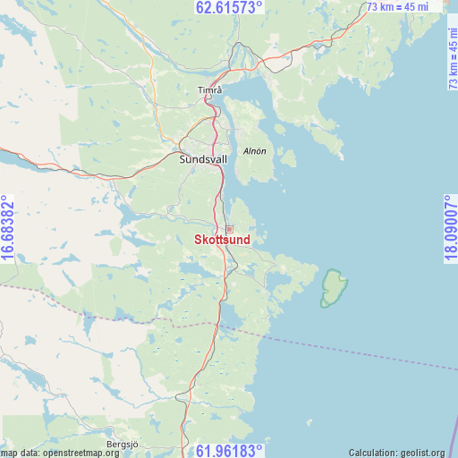
Skottsund GPS coordinates[2]
62° 17' 26.016" North, 17° 23' 12.984" East
| Map corner | latitude | longitude |
|---|---|---|
| Upper-left | 62.61573°, | 16.68382° |
| Center: | 62.29056°, | 17.38694° |
| Lower-right: | 61.96183°, | 18.09007° |
| Map W x H: | 72.7×72.7 km | = 45.2×45.2mi |
| max Lat: | 67.85572° ⇑14.1% North |
| Skottsund: | 62.29056° |
| min Lat: | ⇓85.9% South 55.34337° |
| min Long | Skottsund | max Long |
| 11.1712° | 17.38694° | 24.13676° |
| W 78.5%⇐ | ⇒21.5% E |
Elevation
Elevation of Skottsund is 4 m = 13 ft, and this is 78.6 m = 258 ft below average elevation for this country.
| Max E: |
663 m = 2175 ft | 96.4% |
| Avg. | 82.6 m = 271 ft | |
| Skottsund | 4 m = 13 ft | |
Min E: |
-1 m = -3 ft | 3.6% |
See also: Sweden elevation on elevation.city.
Geographical zone
Skottsund is located in North temperate zone (between Tropic of Cancer and the Arctic Circle). Distance of this North polar circle is 475.1 km =295.2 mi to North.| Distance of | km | miles | from Skottsund |
|---|---|---|---|
| North Pole | 3081 | 1914.4 | to North |
| Arctic Circle | 475.1 | 295.2 | to North |
| Tropic Cancer | 4320.1 | 2684.4 | to South |
| Equator | 6926.1 | 4303.7 | to South |


Nearby cities:
15 places around Skottsund: (largest is in red/bold)
• Ankarsvik
9 km =5.6 mi,  8°
8°
• Dingersjö
1.8 km =1.1 mi,  191°
191°
• Essvik
2.9 km =1.8 mi, 6°
• Johannedal
16 km =9.9 mi,  357°
357°
• Klingsta
9.6 km =6 mi,  294°
294°
• Kvissleby
0.7 km =0.4 mi,  298°
298°
• Lucksta
17.5 km =10.9 mi,  273°
273°
• Matfors
19.5 km =12.1 mi, 289°
• Njurundabommen
3 km =1.9 mi,  183°
183°
• Nolby
1 km =0.6 mi,  249°
249°
• Stockvik
5.2 km =3.2 mi,  347°
347°
• Sundsbruk
18.7 km =11.6 mi, 353°
• Sundsvall
11.9 km =7.4 mi,  339°
339°
• Vi
11.4 km =7.1 mi,  275°
275°
• Vi
15.9 km =9.9 mi, 5°
Sources, notices
• [Note1] Compared only with cities in Sweden existing in our database
• [Src1] Map data: © OpenStreetMap contributors (CC-BY-SA)
• [Src2] Other city data from geonames.org with taken over terms of usage.
• [Src3] Geographical zone / Annual Mean Temperature by Robert A. Rohde @ Wikipedia
