Långvik geodata
Långvik (Norrbotten) is a populated place; located in Sweden in Europe/Stockholm (GMT+2) time zone. With population of 536 people, there are 1260 cities with bigger population in this country. Compared to other cities in Sweden, 99% of cities are located further ↓South; 98.9% of cities are located further ←West and 79.6% of cities have lower elevation than Långvik. Note1


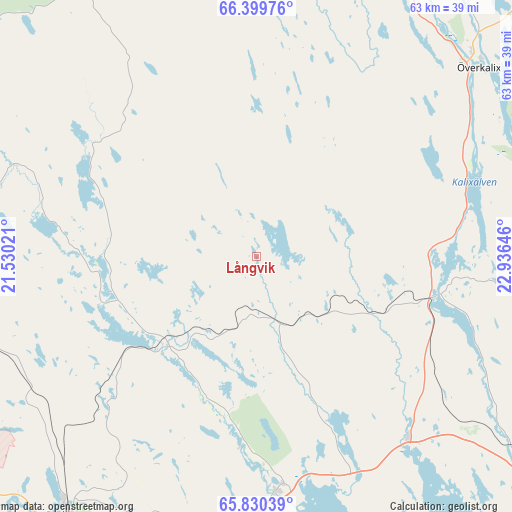
Långvik GPS coordinates[2]
66° 7' 0.012" North, 22° 13' 59.988" East
| Map corner | latitude | longitude |
|---|---|---|
| Upper-left | 66.39976°, | 21.53021° |
| Center: | 66.11667°, | 22.23333° |
| Lower-right: | 65.83039°, | 22.93646° |
| Map W x H: | 63.3×63.3 km | = 39.3×39.3mi |
| max Lat: | 67.85572° ⇑1% North |
| Långvik: | 66.11667° |
| min Lat: | ⇓99% South 55.34337° |
| min Long | Långvik | max Long |
| 11.1712° | 22.23333° | 24.13676° |
| W 98.9%⇐ | ⇒1.1% E |
Elevation
Elevation of Långvik is 143 m = 469 ft, and this is 60.4 m = 198 ft above average elevation for this country.
| Max E: |
663 m = 2175 ft | 20.4% |
| Långvik | 143 m 469 ft | |
| Avg. | 82.6 m = 271 ft | |
Min E: |
-1 m = -3 ft | 79.6% |
See also: Sweden elevation on elevation.city.
Geographical zone
Långvik is located in North temperate zone (between Tropic of Cancer and the Arctic Circle). Distance of this North polar circle is 49.7 km =30.9 mi to North.| Distance of | km | miles | from Långvik |
|---|---|---|---|
| North Pole | 2655.6 | 1650.1 | to North |
| Arctic Circle | 49.7 | 30.9 | to North |
| Tropic Cancer | 4745.6 | 2948.8 | to South |
| Equator | 7351.5 | 4568 | to South |


Nearby cities:
15 places around Långvik: (largest is in red/bold)
• Bensbyn
52.8 km =32.8 mi,  179°
179°
• Björkskatan
56 km =34.8 mi, 182°
• Boden
40.7 km =25.3 mi,  217°
217°
• Gammelstad
54 km =33.6 mi,  190°
190°
• Kalix
51 km =31.7 mi,  125°
125°
• Luleå
59.3 km =36.8 mi, 183°
• Nyborg
57.4 km =35.7 mi, 130°
• Risögrund
57.1 km =35.5 mi, 126°
• Rolfs
49.8 km =30.9 mi, 126°
• Rutvik
49.9 km =31 mi, 187°
• Råneå
29.2 km =18.1 mi,  174°
174°
• Sävast
44.8 km =27.8 mi,  210°
210°
• Södra Sunderbyn
52.5 km =32.6 mi, 194°
• Töre
29.5 km =18.3 mi,  140°
140°
• Överkalix
36 km =22.4 mi,  49°
49°
Sources, notices
• [Note1] Compared only with cities in Sweden existing in our database
• [Src1] Map data: © OpenStreetMap contributors (CC-BY-SA)
• [Src2] Other city data from geonames.org with taken over terms of usage.
• [Src3] Geographical zone / Annual Mean Temperature by Robert A. Rohde @ Wikipedia
