Överkalix geodata
Överkalix (Norrbotten) is a seat of a second-order administrative division; located in Sweden in Europe/Stockholm (GMT+2) time zone. With population of 1,036 people, there are 794 cities with bigger population in this country. Compared to other cities in Sweden, 99.1% of cities are located further ↓South; 99.2% of cities are located further ←West and 56% of cities have higher elevation than Överkalix. Note1


Överkalix GPS coordinates[2]
66° 19' 39.144" North, 22° 50' 38.904" East
| Map corner | latitude | longitude |
|---|---|---|
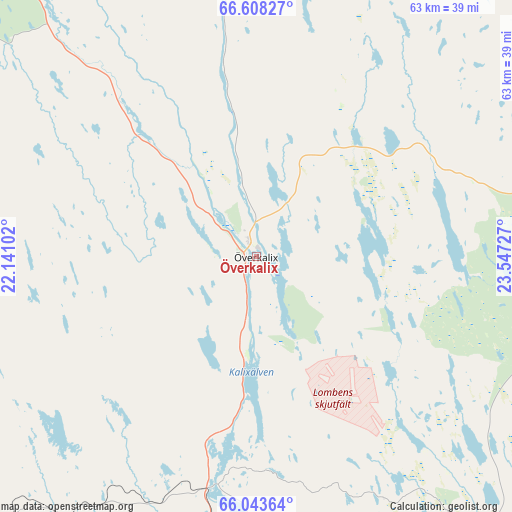
| Upper-left | 66.60827°, | 22.14102° |
| Center: | 66.32754°, | 22.84414° |
| Lower-right: | 66.04364°, | 23.54727° |
| Map W x H: | 62.8×62.8 km | = 39×39mi |
| max Lat: | 67.85572° ⇑0.9% North |
| Överkalix: | 66.32754° |
| min Lat: | ⇓99.1% South 55.34337° |
| min Long | Överkalix | max Long |
| 11.1712° | 22.84414° | 24.13676° |
| W 99.2%⇐ | ⇒0.8% E |
Elevation
Elevation of Överkalix is 41 m = 135 ft, and this is 41.6 m = 136 ft below average elevation for this country.
| Max E: |
663 m = 2175 ft | 56% |
| Avg. | 82.6 m = 271 ft | |
| Överkalix | 41 m = 135 ft | |
Min E: |
-1 m = -3 ft | 44% |
See also: Sweden elevation on elevation.city.
Geographical zone
Överkalix is located in North temperate zone (between Tropic of Cancer and the Arctic Circle). Distance of this North polar circle is 26.2 km =16.3 mi to North.| Distance of | km | miles | from Överkalix |
|---|---|---|---|
| North Pole | 2632.1 | 1635.5 | to North |
| Arctic Circle | 26.2 | 16.3 | to North |
| Tropic Cancer | 4769 | 2963.3 | to South |
| Equator | 7374.9 | 4582.5 | to South |


Nearby cities:
15 places around Överkalix: (largest is in red/bold)
• Boden
76.4 km =47.5 mi,  223°
223°
• Haparanda
79.9 km =49.6 mi,  133°
133°
• Kalix
54.6 km =33.9 mi,  165°
165°
• Korpilombolo
59 km =36.7 mi,  9°
9°
• Långvik
36 km =22.4 mi,  229°
229°
• Marielund
77.5 km =48.2 mi, 132°
• Nyborg
62.6 km =38.9 mi, 165°
• Risögrund
60.2 km =37.4 mi,  162°
162°
• Rolfs
54.5 km =33.9 mi, 166°
• Rutvik
80.5 km =50 mi,  205°
205°
• Råneå
58.2 km =36.2 mi, 205°
• Sangis
60.1 km =37.3 mi,  150°
150°
• Sävast
79.8 km =49.6 mi, 219°
• Töre
47 km =29.2 mi,  190°
190°
• Övertorneå
36.7 km =22.8 mi,  79°
79°
Sources, notices
• [Note1] Compared only with cities in Sweden existing in our database
• [Src1] Map data: © OpenStreetMap contributors (CC-BY-SA)
• [Src2] Other city data from geonames.org with taken over terms of usage.
• [Src3] Geographical zone / Annual Mean Temperature by Robert A. Rohde @ Wikipedia
