Parižlje geodata
Parižlje (Braslovče) is a populated place; located in Slovenia in Europe/Ljubljana (GMT+2) time zone. With population of 739 people, there are 336 cities with bigger population in this country. Compared to other cities in Slovenia, 52.3% of cities are located further ↓South; 52% of cities are located further ←West and 52.7% of cities have higher elevation than Parižlje. Note1


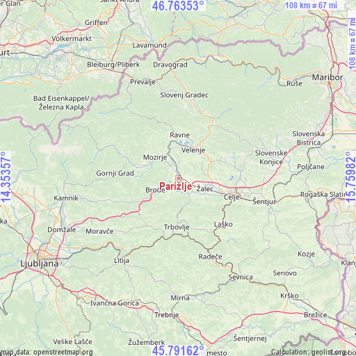
Parižlje GPS coordinates[2]
46° 16' 47.028" North, 15° 3' 24.084" East
| Map corner | latitude | longitude |
|---|---|---|
| Upper-left | 46.76353°, | 14.35357° |
| Center: | 46.27973°, | 15.05669° |
| Lower-right: | 45.79162°, | 15.75982° |
| Map W x H: | 108.1×108.1 km | = 67.2×67.2mi |
| max Lat: | 46.83694° ⇑47.7% North |
| Parižlje: | 46.27973° |
| min Lat: | ⇓52.3% South 45.47667° |
| min Long | Parižlje | max Long |
| 13.52639° | 15.05669° | 16.4975° |
| W 52%⇐ | ⇒48% E |
Elevation
Elevation of Parižlje is 292 m = 958 ft, and this is 33.6 m = 110 ft below average elevation for this country.
| Max E: |
1551 m = 5089 ft | 52.7% |
| Avg. | 325.6 m = 1068 ft | |
| Parižlje | 292 m = 958 ft | |
Min E: |
2 m = 7 ft | 47.3% |
See also: Slovenia elevation on elevation.city.
Geographical zone
Parižlje is located in North temperate zone (between Tropic of Cancer and the Arctic Circle). Distance of this North polar circle is 2255.4 km =1401.4 mi to North.| Distance of | km | miles | from Parižlje |
|---|---|---|---|
| North Pole | 4861.2 | 3020.6 | to North |
| Arctic Circle | 2255.4 | 1401.4 | to North |
| Tropic Cancer | 2539.9 | 1578.2 | to South |
| Equator | 5145.8 | 3197.5 | to South |


Nearby cities:
15 places around Parižlje: (largest is in red/bold)
• Andraž nad Polzelo
5.7 km =3.5 mi,  28°
28°
• Braslovče
1.8 km =1.1 mi,  309°
309°
• Breg pri Polzeli
2.6 km =1.6 mi,  115°
115°
• Dolenja Vas
5.2 km =3.2 mi,  145°
145°
• Gotovlje
7.3 km =4.5 mi,  94°
94°
• Latkova Vas
4 km =2.5 mi,  135°
135°
• Letuš
4.7 km =2.9 mi,  328°
328°
• Ločica ob Savinji
3.6 km =2.2 mi, 119°
• Podkraj pri Velenju
8.5 km =5.3 mi,  17°
17°
• Polzela
0.9 km =0.6 mi,  62°
62°
• Prebold
5.5 km =3.4 mi, 149°
• Tabor
5.7 km =3.5 mi,  211°
211°
• Vrbje
7.9 km =4.9 mi,  114°
114°
• Šempeter v Savinj. Dolini
5.6 km =3.5 mi, 117°
• Šmartno ob Paki
6.2 km =3.9 mi,  343°
343°
Sources, notices
• [Note1] Compared only with cities in Slovenia existing in our database
• [Src1] Map data: © OpenStreetMap contributors (CC-BY-SA)
• [Src2] Other city data from geonames.org with taken over terms of usage.
• [Src3] Geographical zone / Annual Mean Temperature by Robert A. Rohde @ Wikipedia
