Fada geodata
Fada (Ennedi-Ouest) is a seat of a first-order administrative division; located in Chad in Africa/Ndjamena (GMT+1) time zone. With population of 23,786 people, there are 12 cities with bigger population in this country. Compared to other cities in Chad, 93.6% of cities are located further ↓South; 93.6% of cities are located further ←West and 87.2% of cities have lower elevation than Fada. Note1


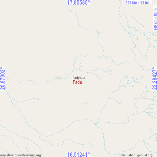
Fada GPS coordinates[2]
17° 11' 7.26" North, 21° 34' 52.104" East
| Map corner | latitude | longitude |
|---|---|---|
| Upper-left | 17.85585°, | 20.87802° |
| Center: | 17.18535°, | 21.58114° |
| Lower-right: | 16.51241°, | 22.28427° |
| Map W x H: | 149.4×149.4 km | = 92.8×92.8mi |
| max Lat: | 21.8375° ⇑6.4% North |
| Fada: | 17.18535° |
| min Lat: | ⇓93.6% South 8.26681° |
| min Long | Fada | max Long |
| 14.1539° | 21.58114° | 22.84308° |
| W 93.6%⇐ | ⇒6.4% E |
Elevation
Elevation of Fada is 567 m = 1860 ft, and this is 129.7 m = 426 ft above average elevation for this country.
| Max E: |
1046 m = 3432 ft | 12.8% |
| Fada | 567 m 1860 ft | |
| Avg. | 437.3 m = 1435 ft | |
Min E: |
242 m = 794 ft | 87.2% |
See also: Chad elevation on elevation.city.
Geographical zone
Fada is located in North Torrid zone (between Equator and Tropic of Cancer). Distance of this Northern Tropic circle is 695.1 km =431.9 mi to North.| Distance of | km | miles | from Fada |
|---|---|---|---|
| North Pole | 8096.2 | 5030.7 | to North |
| Arctic Circle | 5490.3 | 3411.5 | to North |
| Tropic Cancer | 695.1 | 431.9 | to North |
| Equator | 1910.8 | 1187.3 | to South |


Nearby cities:
7 places around Fada: (largest is in red/bold)
• Abéché
381.7 km =237.2 mi,  192°
192°
• Adré
418.8 km =260.2 mi,  170°
170°
• Am Djarass
183.2 km =113.8 mi,  132°
132°
• Biltine
303.6 km =188.6 mi, 193°
• Faya-Largeau
275.2 km =171 mi,  287°
287°
• Goz Béïda
376.9 km =234.2 mi,  197°
197°
• Iriba
240.9 km =149.7 mi,  162°
162°
Sources, notices
• [Note1] Compared only with cities in Chad existing in our database
• [Src1] Map data: © OpenStreetMap contributors (CC-BY-SA)
• [Src2] Other city data from geonames.org with taken over terms of usage.
• [Src3] Geographical zone / Annual Mean Temperature by Robert A. Rohde @ Wikipedia
