Iriba geodata
Iriba (Wadi Fira) is a populated place; located in Chad in Africa/Ndjamena (GMT+1) time zone. With population of 1,100 people, there are 43 cities with bigger population in this country. Compared to other cities in Chad, 89.4% of cities are located further ↓South; 97.9% of cities are located further ←West and 95.7% of cities have lower elevation than Iriba. Note1


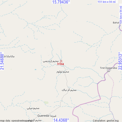
Iriba GPS coordinates[2]
15° 7' 0.012" North, 22° 15' 0" East
| Map corner | latitude | longitude |
|---|---|---|
| Upper-left | 15.79436°, | 21.54688° |
| Center: | 15.11667°, | 22.25° |
| Lower-right: | 14.4368°, | 22.95313° |
| Map W x H: | 150.9×150.9 km | = 93.8×93.8mi |
| max Lat: | 21.8375° ⇑10.6% North |
| Iriba: | 15.11667° |
| min Lat: | ⇓89.4% South 8.26681° |
| min Long | Iriba | max Long |
| 14.1539° | 22.25° | 22.84308° |
| W 97.9%⇐ | ⇒2.1% E |
Elevation
Elevation of Iriba is 932 m = 3058 ft, and this is 494.7 m = 1623 ft above average elevation for this country.
| Max E: |
1046 m = 3432 ft | 4.3% |
| Iriba | 932 m 3058 ft | |
| Avg. | 437.3 m = 1435 ft | |
Min E: |
242 m = 794 ft | 95.7% |
See also: Chad elevation on elevation.city.
Geographical zone
Iriba is located in North Torrid zone (between Equator and Tropic of Cancer). Distance of this Northern Tropic circle is 925.1 km =574.8 mi to North.| Distance of | km | miles | from Iriba |
|---|---|---|---|
| North Pole | 8326.2 | 5173.7 | to North |
| Arctic Circle | 5720.4 | 3554.5 | to North |
| Tropic Cancer | 925.1 | 574.8 | to North |
| Equator | 1680.8 | 1044.4 | to South |


Nearby cities:
8 places around Iriba: (largest is in red/bold)
• Abéché
209.3 km =130.1 mi,  226°
226°
• Adré
183.6 km =114.1 mi,  181°
181°
• Am Djarass
123.2 km =76.6 mi,  31°
31°
• Biltine
156.5 km =97.2 mi,  245°
245°
• Fada
240.9 km =149.7 mi,  342°
342°
• Goz Beïda
334.1 km =207.6 mi,  195°
195°
• Goz Béïda
224.9 km =139.7 mi, 234°
• Oum Hadjer
341.7 km =212.3 mi, 233°
Sources, notices
• [Note1] Compared only with cities in Chad existing in our database
• [Src1] Map data: © OpenStreetMap contributors (CC-BY-SA)
• [Src2] Other city data from geonames.org with taken over terms of usage.
• [Src3] Geographical zone / Annual Mean Temperature by Robert A. Rohde @ Wikipedia
