Pangai geodata
Pangai (Ha‘apai) is a seat of a first-order administrative division; located in Tonga in Pacific/Tongatapu (GMT+13) time zone. With population of 1,738 people, there are 6 cities with bigger population in this country. Compared to other cities in Tonga, 77.8% of cities are located further ↓South; 77.8% of cities are located further ←West and 77.8% of cities have higher elevation than Pangai. Note1


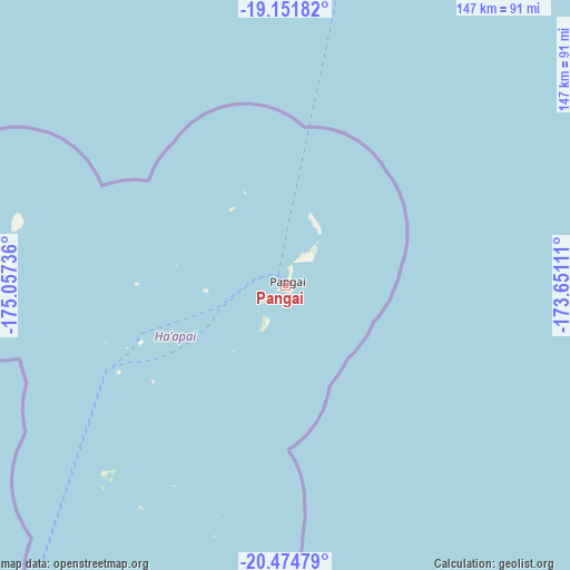
Pangai GPS coordinates[2]
19° 48' 52.848" South, 174° 21' 15.228" West
| Map corner | latitude | longitude |
|---|---|---|
| Upper-left | -19.15182°, | -175.05736° |
| Center: | -19.81468°, | -174.35423° |
| Lower-right: | -20.47479°, | -173.65111° |
| Map W x H: | 147.1×147.1 km | = 91.4×91.4mi |
| max Lat: | -15.9544° ⇑22.2% North |
| Pangai: | -19.81468° |
| min Lat: | ⇓77.8% South -21.33333° |
| min Long | Pangai | max Long |
| -175.21333° | -174.35423° | -173.79616° |
| W 77.8%⇐ | ⇒22.2% E |
Elevation
Elevation of Pangai is 6 m = 20 ft, and this is 2.5 m = 8 ft below average elevation for this country.
| Max E: |
13 m = 43 ft | 77.8% |
| Avg. | 8.5 m = 28 ft | |
| Pangai | 6 m = 20 ft | |
Min E: |
5 m = 16 ft | 22.2% |
See also: Tonga elevation on elevation.city.
Geographical zone
Pangai is located in South Torrid zone (between Equator and Tropic of Capricorn). Distance of this Southern Tropic circle is 402.7 km =250.2 mi to South.| Distance of | km | miles | from Pangai |
|---|---|---|---|
| Equator | 2203.2 | 1369 | to North |
| Tropic Capricorn | 402.7 | 250.2 | to South |
| Antarctic Circle | 5198 | 3229.9 | to South |
| South Pole | 7803.9 | 4849.1 | to South |


Nearby cities:
9 places around Pangai: (largest is in red/bold)
• Haveluloto
173.6 km =107.9 mi,  211°
211°
• Hihifo
433.3 km =269.2 mi,  7°
7°
• Kolonga
164.3 km =102.1 mi, 206°
• Lapaha
171.1 km =106.3 mi, 207°
• Neiafu
135.1 km =83.9 mi,  16°
16°
• Nuku‘alofa
171.7 km =106.7 mi, 210°
• Tatakamotonga
172.3 km =107.1 mi, 207°
• Vaini
175.6 km =109.1 mi, 209°
• ‘Ohonua
179.9 km =111.8 mi,  200°
200°
Sources, notices
• [Note1] Compared only with cities in Tonga existing in our database
• [Src1] Map data: © OpenStreetMap contributors (CC-BY-SA)
• [Src2] Other city data from geonames.org with taken over terms of usage.
• [Src3] Geographical zone / Annual Mean Temperature by Robert A. Rohde @ Wikipedia
