Neiafu geodata
Neiafu (Vava‘u) is a seat of a first-order administrative division; located in Tonga in Pacific/Tongatapu (GMT+13) time zone. With population of 4,320 people, there are 2 cities with bigger population in this country. Compared to other cities in Tonga, 88.9% of cities are located further ↓South; 88.9% of cities are located further ←West and 88.9% of cities have lower elevation than Neiafu. Note1


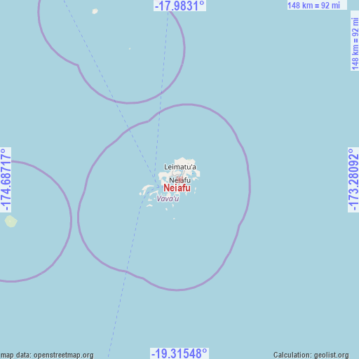
Neiafu GPS coordinates[2]
18° 39' 2.16" South, 173° 59' 2.544" West
| Map corner | latitude | longitude |
|---|---|---|
| Upper-left | -17.9831°, | -174.68717° |
| Center: | -18.6506°, | -173.98404° |
| Lower-right: | -19.31548°, | -173.28092° |
| Map W x H: | 148.1×148.1 km | = 92×92mi |
| max Lat: | -15.9544° ⇑11.1% North |
| Neiafu: | -18.6506° |
| min Lat: | ⇓88.9% South -21.33333° |
| min Long | Neiafu | max Long |
| -175.21333° | -173.98404° | -173.79616° |
| W 88.9%⇐ | ⇒11.1% E |
Elevation
Elevation of Neiafu is 13 m = 43 ft, and this is 4.5 m = 15 ft above average elevation for this country.
| Max E: |
13 m = 43 ft | 11.1% |
| Neiafu | 13 m 43 ft | |
| Avg. | 8.5 m = 28 ft | |
Min E: |
5 m = 16 ft | 88.9% |
See also: Tonga elevation on elevation.city.
Geographical zone
Neiafu is located in South Torrid zone (between Equator and Tropic of Capricorn). Distance of this Southern Tropic circle is 532.2 km =330.7 mi to South.| Distance of | km | miles | from Neiafu |
|---|---|---|---|
| Equator | 2073.8 | 1288.6 | to North |
| Tropic Capricorn | 532.2 | 330.7 | to South |
| Antarctic Circle | 5327.4 | 3310.3 | to South |
| South Pole | 7933.3 | 4929.5 | to South |


Nearby cities:
9 places around Neiafu: (largest is in red/bold)
• Haveluloto
306.4 km =190.4 mi,  204°
204°
• Hihifo
300.5 km =186.7 mi,  3°
3°
• Kolonga
298.4 km =185.4 mi, 202°
• Lapaha
304.9 km =189.5 mi, 202°
• Nuku‘alofa
304.6 km =189.3 mi, 204°
• Pangai
135.1 km =83.9 mi, 196°
• Tatakamotonga
306.1 km =190.2 mi, 202°
• Vaini
309 km =192 mi, 203°
• ‘Ohonua
314.9 km =195.7 mi, 198°
Sources, notices
• [Note1] Compared only with cities in Tonga existing in our database
• [Src1] Map data: © OpenStreetMap contributors (CC-BY-SA)
• [Src2] Other city data from geonames.org with taken over terms of usage.
• [Src3] Geographical zone / Annual Mean Temperature by Robert A. Rohde @ Wikipedia
