Kocaaliler geodata
Kocaaliler (Burdur) is a seat of a third-order administrative division; located in Turkey in Europe/Istanbul (GMT+3) time zone. With population of 2,170 people, there are 924 cities with bigger population in this country. Compared to other cities in Turkey, 79.8% of cities are located further ↑North; 71.7% of cities are located further →East and 53.1% of cities have higher elevation than Kocaaliler. Note1


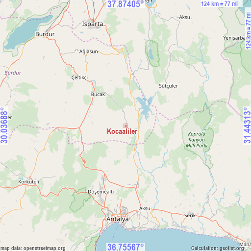
Kocaaliler GPS coordinates[2]
37° 19' 0.984" North, 30° 44' 24" East
| Map corner | latitude | longitude |
|---|---|---|
| Upper-left | 37.87405°, | 30.03688° |
| Center: | 37.31694°, | 30.74° |
| Lower-right: | 36.75567°, | 31.44313° |
| Map W x H: | 124.4×124.4 km | = 77.3×77.3mi |
| max Lat: | 42.02683° ⇑79.8% North |
| Kocaaliler: | 37.31694° |
| min Lat: | ⇓20.2% South 35.9025° |
| min Long | Kocaaliler | max Long |
| 25.90902° | 30.74° | 44.60099° |
| W 28.3%⇐ | ⇒71.7% E |
Elevation
Elevation of Kocaaliler is 632 m = 2073 ft, and this is 85.4 m = 280 ft below average elevation for this country.
| Max E: |
2682 m = 8799 ft | 53.1% |
| Avg. | 717.4 m = 2354 ft | |
| Kocaaliler | 632 m = 2073 ft | |
Min E: |
0 m = 0 ft | 46.9% |
See also: Turkey elevation on elevation.city.
Geographical zone
Kocaaliler is located in North temperate zone (between Tropic of Cancer and the Arctic Circle). Distance of this Northern Tropic circle is 1543.3 km =959 mi to South.| Distance of | km | miles | from Kocaaliler |
|---|---|---|---|
| North Pole | 5857.8 | 3639.9 | to North |
| Arctic Circle | 3251.9 | 2020.6 | to North |
| Tropic Cancer | 1543.3 | 959 | to South |
| Equator | 4149.3 | 2578.3 | to South |


Nearby cities:
15 places around Kocaaliler: (largest is in red/bold)
• Aksu
41.5 km =25.8 mi,  166°
166°
• Antalya
45.6 km =28.3 mi,  184°
184°
• Ağlasun
41.2 km =25.6 mi,  333°
333°
• Beşkonak
44.9 km =27.9 mi,  115°
115°
• Bozova
41.7 km =25.9 mi,  254°
254°
• Bucak
20.4 km =12.7 mi,  320°
320°
• Dağ
25 km =15.5 mi,  236°
236°
• Döşemealtı
34.8 km =21.6 mi,  200°
200°
• Gebiz
29.4 km =18.3 mi,  143°
143°
• Kasımlar
46.4 km =28.8 mi,  59°
59°
• Kepez
44.7 km =27.8 mi, 183°
• Kızılkaya
26.2 km =16.3 mi,  266°
266°
• Muratpaşa
47.3 km =29.4 mi, 177°
• Pavlu Cebel
29 km =18 mi,  46°
46°
• Çeltikçi
32.9 km =20.4 mi, 315°
Sources, notices
• [Note1] Compared only with cities in Turkey existing in our database
• [Src1] Map data: © OpenStreetMap contributors (CC-BY-SA)
• [Src2] Other city data from geonames.org with taken over terms of usage.
• [Src3] Geographical zone / Annual Mean Temperature by Robert A. Rohde @ Wikipedia
