Liwale geodata
Liwale (Lindi) is a populated place; located in Tanzania in Africa/Dar_es_Salaam (GMT+3) time zone. With population of 19,296 people, there are 133 cities with bigger population in this country. Compared to other cities in Tanzania, 87.1% of cities are located further ↑North; 72.4% of cities are located further ←West and 70.3% of cities have higher elevation than Liwale. Note1


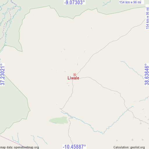
Liwale GPS coordinates[2]
9° 46' 0.012" South, 37° 55' 59.988" East
| Map corner | latitude | longitude |
|---|---|---|
| Upper-left | -9.07303°, | 37.23021° |
| Center: | -9.76667°, | 37.93333° |
| Lower-right: | -10.45887°, | 38.63646° |
| Map W x H: | 154.1×154.1 km | = 95.8×95.8mi |
| max Lat: | -1.14389° ⇑87.1% North |
| Liwale: | -9.76667° |
| min Lat: | ⇓12.9% South -11.36667° |
| min Long | Liwale | max Long |
| 29.62667° | 37.93333° | 40.33333° |
| W 72.4%⇐ | ⇒27.6% E |
Elevation
Elevation of Liwale is 495 m = 1624 ft, and this is 447.8 m = 1469 ft below average elevation for this country.
| Max E: |
2377 m = 7799 ft | 70.3% |
| Avg. | 942.8 m = 3093 ft | |
| Liwale | 495 m = 1624 ft | |
Min E: |
0 m = 0 ft | 29.7% |
See also: Tanzania elevation on elevation.city.
Geographical zone
Liwale is located in South Torrid zone (between Equator and Tropic of Capricorn). Distance of Equator is 1086 km =674.8 mi to North.| Distance of | km | miles | from Liwale |
|---|---|---|---|
| Equator | 1086 | 674.8 | to North |
| Tropic Capricorn | 1520 | 944.5 | to South |
| Antarctic Circle | 6315.2 | 3924.1 | to South |
| South Pole | 8921.1 | 5543.3 | to South |


Nearby cities:
15 places around Liwale: (largest is in red/bold)
• Chiungutwa
169.1 km =105.1 mi,  137°
137°
• Kitangari
182 km =113.1 mi,  122°
122°
• Lukuledi
130 km =80.8 mi,  133°
133°
• Lulindi
175.7 km =109.2 mi, 131°
• Mahenge
179.8 km =111.7 mi,  312°
312°
• Masasi
142 km =88.2 mi, 138°
• Masuguru
185.6 km =115.3 mi,  163°
163°
• Mbekenyera
117.9 km =73.3 mi,  102°
102°
• Mtama
167.8 km =104.3 mi,  110°
110°
• Nachingwea
113 km =70.2 mi, 126°
• Namalenga
183.3 km =113.9 mi, 135°
• Nanganga
149.8 km =93.1 mi, 117°
• Nangomba
140.4 km =87.2 mi,  153°
153°
• Nyangao
160.7 km =99.9 mi, 113°
• Ruangwa
114.5 km =71.1 mi, 106°
Sources, notices
• [Note1] Compared only with cities in Tanzania existing in our database
• [Src1] Map data: © OpenStreetMap contributors (CC-BY-SA)
• [Src2] Other city data from geonames.org with taken over terms of usage.
• [Src3] Geographical zone / Annual Mean Temperature by Robert A. Rohde @ Wikipedia
