Mahenge geodata
Mahenge (Morogoro) is a populated place; located in Tanzania in Africa/Dar_es_Salaam (GMT+3) time zone. With population of 7,768 people, there are 257 cities with bigger population in this country. Compared to other cities in Tanzania, 77.3% of cities are located further ↑North; 62.6% of cities are located further ←West and 55.6% of cities have higher elevation than Mahenge. Note1


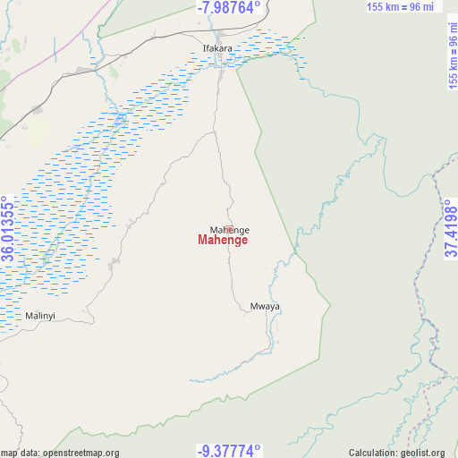
Mahenge GPS coordinates[2]
8° 40' 59.988" South, 36° 43' 0.012" East
| Map corner | latitude | longitude |
|---|---|---|
| Upper-left | -7.98764°, | 36.01355° |
| Center: | -8.68333°, | 36.71667° |
| Lower-right: | -9.37774°, | 37.4198° |
| Map W x H: | 154.6×154.6 km | = 96.1×96.1mi |
| max Lat: | -1.14389° ⇑77.3% North |
| Mahenge: | -8.68333° |
| min Lat: | ⇓22.7% South -11.36667° |
| min Long | Mahenge | max Long |
| 29.62667° | 36.71667° | 40.33333° |
| W 62.6%⇐ | ⇒37.4% E |
Elevation
Elevation of Mahenge is 1039 m = 3409 ft, and this is 96.2 m = 316 ft above average elevation for this country.
| Max E: |
2377 m = 7799 ft | 55.6% |
| Mahenge | 1039 m 3409 ft | |
| Avg. | 942.8 m = 3093 ft | |
Min E: |
0 m = 0 ft | 44.4% |
See also: Tanzania elevation on elevation.city.
Geographical zone
Mahenge is located in South Torrid zone (between Equator and Tropic of Capricorn). Distance of Equator is 965.5 km =599.9 mi to North.| Distance of | km | miles | from Mahenge |
|---|---|---|---|
| Equator | 965.5 | 599.9 | to North |
| Tropic Capricorn | 1640.4 | 1019.3 | to South |
| Antarctic Circle | 6435.7 | 3999 | to South |
| South Pole | 9041.6 | 5618.2 | to South |


Nearby cities:
15 places around Mahenge: (largest is in red/bold)
• Ifakara
61.3 km =38.1 mi,  356°
356°
• Ilula
134.7 km =83.7 mi,  326°
326°
• Iringa
151.3 km =94 mi,  312°
312°
• Izazi
197.3 km =122.6 mi, 326°
• Kidatu
112.6 km =70 mi,  13°
13°
• Kidodi
124.2 km =77.2 mi, 14°
• Kisanga
176.1 km =109.4 mi,  38°
38°
• Liwale
179.8 km =111.7 mi,  132°
132°
• Lupiro
33.8 km =21 mi,  350°
350°
• Makungu
157.6 km =97.9 mi,  267°
267°
• Malangali
205.6 km =127.8 mi, 273°
• Malinyi
69.9 km =43.4 mi,  246°
246°
• Mikumi
145.2 km =90.2 mi, 11°
• Mlimba
99.8 km =62 mi,  262°
262°
• Mtimbira
41.8 km =26 mi, 254°
Sources, notices
• [Note1] Compared only with cities in Tanzania existing in our database
• [Src1] Map data: © OpenStreetMap contributors (CC-BY-SA)
• [Src2] Other city data from geonames.org with taken over terms of usage.
• [Src3] Geographical zone / Annual Mean Temperature by Robert A. Rohde @ Wikipedia
