Dubno geodata
Dubno (Rivne) is a seat of a second-order administrative division; located in Ukraine in Europe/Kiev (GMT+3) time zone. With population of 37,690 people, there are 116 cities with bigger population in this country. Compared to other cities in Ukraine, 89.9% of cities are located further ↓South; 82.4% of cities are located further →East and 68.2% of cities have lower elevation than Dubno. Note1


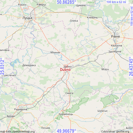
Dubno GPS coordinates[2]
50° 25' 0.984" North, 25° 44' 3.552" East
| Map corner | latitude | longitude |
|---|---|---|
| Upper-left | 50.86285°, | 25.0312° |
| Center: | 50.41694°, | 25.73432° |
| Lower-right: | 49.96679°, | 26.43745° |
| Map W x H: | 99.6×99.6 km | = 61.9×61.9mi |
| max Lat: | 52.18903° ⇑10.1% North |
| Dubno: | 50.41694° |
| min Lat: | ⇓89.9% South 44.39214° |
| min Long | Dubno | max Long |
| 22.20555° | 25.73432° | 40.13222° |
| W 17.6%⇐ | ⇒82.4% E |
Elevation
Elevation of Dubno is 199 m = 653 ft, and this is 43.2 m = 142 ft above average elevation for this country.
| Max E: |
886 m = 2907 ft | 31.8% |
| Dubno | 199 m 653 ft | |
| Avg. | 155.8 m = 511 ft | |
Min E: |
-3 m = -10 ft | 68.2% |
See also: Ukraine elevation on elevation.city.
Geographical zone
Dubno is located in North temperate zone (between Tropic of Cancer and the Arctic Circle). Distance of this North polar circle is 1795.3 km =1115.5 mi to North.| Distance of | km | miles | from Dubno |
|---|---|---|---|
| North Pole | 4401.2 | 2734.8 | to North |
| Arctic Circle | 1795.3 | 1115.5 | to North |
| Tropic Cancer | 2999.9 | 1864.1 | to South |
| Equator | 5605.8 | 3483.3 | to South |


Nearby cities:
15 places around Dubno: (largest is in red/bold)
• Berestechko
44.7 km =27.8 mi,  261°
261°
• Demydivka
28.2 km =17.5 mi,  272°
272°
• Klevan
40.1 km =24.9 mi,  25°
25°
• Kolodenka
45.2 km =28.1 mi,  65°
65°
• Kremenets
35.6 km =22.1 mi,  181°
181°
• Mizoch
29.5 km =18.3 mi,  93°
93°
• Mlyniv
13.2 km =8.2 mi,  320°
320°
• Olyka
34 km =21.1 mi,  9°
9°
• Rivne
41.7 km =25.9 mi,  56°
56°
• Shumsk
42.5 km =26.4 mi,  140°
140°
• Smyga
19.9 km =12.4 mi,  173°
173°
• Tarakaniv
4.5 km =2.8 mi,  203°
203°
• Tynne
37.9 km =23.5 mi, 57°
• Zdolbuniv
37.8 km =23.5 mi, 72°
• Zdovbytsya
36.9 km =22.9 mi,  76°
76°
Sources, notices
• [Note1] Compared only with cities in Ukraine existing in our database
• [Src1] Map data: © OpenStreetMap contributors (CC-BY-SA)
• [Src2] Other city data from geonames.org with taken over terms of usage.
• [Src3] Geographical zone / Annual Mean Temperature by Robert A. Rohde @ Wikipedia
