Geneva geodata
Geneva (Alabama) is a seat of a second-order administrative division; located in United States in America/Chicago (GMT-5) time zone. With population of 4,460 people, there are 7682 cities with bigger population in this country. Compared to other cities in United States, 90.7% of cities are located further ↑North; 53.2% of cities are located further ←West and 83.2% of cities have higher elevation than Geneva. Note1


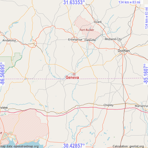
Geneva GPS coordinates[2]
31° 1' 58.656" North, 85° 51' 49.752" West
| Map corner | latitude | longitude |
|---|---|---|
| Upper-left | 31.63353°, | -86.56695° |
| Center: | 31.03296°, | -85.86382° |
| Lower-right: | 30.42857°, | -85.1607° |
| Map W x H: | 134×134 km | = 83.3×83.3mi |
| max Lat: | 71.29058° ⇑90.7% North |
| Geneva: | 31.03296° |
| min Lat: | ⇓9.3% South 19.06759° |
| min Long | Geneva | max Long |
| -171.73463° | -85.86382° | -66.98998° |
| W 53.2%⇐ | ⇒46.8% E |
Elevation
Elevation of Geneva is 34 m = 112 ft, and this is 260.8 m = 856 ft below average elevation for this country.
| Max E: |
3189 m = 10463 ft | 83.2% |
| Avg. | 294.8 m = 967 ft | |
| Geneva | 34 m = 112 ft | |
Min E: |
-60 m = -197 ft | 16.8% |
See also: United States elevation on elevation.city.
Geographical zone
Geneva is located in North temperate zone (between Tropic of Cancer and the Arctic Circle). Distance of this Northern Tropic circle is 844.6 km =524.8 mi to South.| Distance of | km | miles | from Geneva |
|---|---|---|---|
| North Pole | 6556.5 | 4074 | to North |
| Arctic Circle | 3950.6 | 2454.8 | to North |
| Tropic Cancer | 844.6 | 524.8 | to South |
| Equator | 3450.5 | 2144 | to South |


Nearby cities:
15 places around Geneva: (largest is in red/bold)
• Bonifay
32.1 km =19.9 mi,  146°
146°
• Clayhatchee
26.2 km =16.3 mi,  30°
30°
• Daleville
34 km =21.1 mi,  24°
24°
• Enterprise
31.4 km =19.5 mi,  1°
1°
• Fort Rucker
37.2 km =23.1 mi, 22°
• Graceville
34.2 km =21.3 mi,  104°
104°
• Hartford
17.7 km =11 mi,  64°
64°
• Kinston
35.6 km =22.1 mi,  304°
304°
• Level Plains
30.8 km =19.1 mi, 15°
• Malvern
34.9 km =21.7 mi,  70°
70°
• New Brockton
39.7 km =24.7 mi,  350°
350°
• Ponce de Leon
35.2 km =21.9 mi,  191°
191°
• Samson
19.5 km =12.1 mi, 297°
• Slocomb
27 km =16.8 mi, 71°
• Taylor
40.4 km =25.1 mi, 68°
Sources, notices
• [Note1] Compared only with cities in United States existing in our database
• [Src1] Map data: © OpenStreetMap contributors (CC-BY-SA)
• [Src2] Other city data from geonames.org with taken over terms of usage.
• [Src3] Geographical zone / Annual Mean Temperature by Robert A. Rohde @ Wikipedia
