Montgomery geodata
Montgomery (Alabama) is a seat of a first-order administrative division; located in United States in America/Chicago (GMT-5) time zone. With population of 200,602 people, there are 128 cities with bigger population in this country. Compared to other cities in United States, 87.6% of cities are located further ↑North; 52.1% of cities are located further ←West and 74.2% of cities have higher elevation than Montgomery. Note1


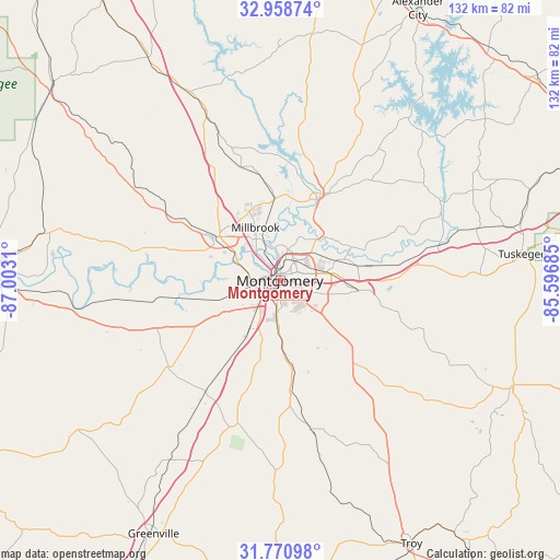
Montgomery GPS coordinates[2]
32° 22' 0.516" North, 86° 17' 59.892" West
| Map corner | latitude | longitude |
|---|---|---|
| Upper-left | 32.95874°, | -87.0031° |
| Center: | 32.36681°, | -86.29997° |
| Lower-right: | 31.77098°, | -85.59685° |
| Map W x H: | 132.1×132.1 km | = 82.1×82.1mi |
| max Lat: | 71.29058° ⇑87.6% North |
| Montgomery: | 32.36681° |
| min Lat: | ⇓12.4% South 19.06759° |
| min Long | Montgomery | max Long |
| -171.73463° | -86.29997° | -66.98998° |
| W 52.1%⇐ | ⇒47.9% E |
Elevation
Elevation of Montgomery is 76 m = 249 ft, and this is 218.8 m = 718 ft below average elevation for this country.
| Max E: |
3189 m = 10463 ft | 74.2% |
| Avg. | 294.8 m = 967 ft | |
| Montgomery | 76 m = 249 ft | |
Min E: |
-60 m = -197 ft | 25.8% |
See also: Montgomery elevation on elevation.city.
Geographical zone
Montgomery is located in North temperate zone (between Tropic of Cancer and the Arctic Circle). Distance of this Northern Tropic circle is 992.9 km =617 mi to South.| Distance of | km | miles | from Montgomery |
|---|---|---|---|
| North Pole | 6408.2 | 3981.9 | to North |
| Arctic Circle | 3802.3 | 2362.6 | to North |
| Tropic Cancer | 992.9 | 617 | to South |
| Equator | 3598.9 | 2236.3 | to South |


Nearby cities:
15 places around Montgomery: (largest is in red/bold)
• Autaugaville
34.1 km =21.2 mi,  282°
282°
• Blue Ridge
17.4 km =10.8 mi,  36°
36°
• Coosada
14.9 km =9.3 mi,  348°
348°
• Deatsville
28.3 km =17.6 mi,  341°
341°
• Eclectic
38.9 km =24.2 mi, 39°
• Elmore
19.2 km =11.9 mi,  355°
355°
• Emerald Mountain
21.3 km =13.2 mi,  64°
64°
• Hayneville
33.3 km =20.7 mi,  232°
232°
• Holtville
30.1 km =18.7 mi, 355°
• Matthews
30 km =18.6 mi,  112°
112°
• Millbrook
13.8 km =8.6 mi, 335°
• Pike Road
20.7 km =12.9 mi,  116°
116°
• Pine Level
28.7 km =17.8 mi,  327°
327°
• Prattville
18.5 km =11.5 mi,  305°
305°
• Wetumpka
21.3 km =13.2 mi,  22°
22°
Sources, notices
• [Note1] Compared only with cities in United States existing in our database
• [Src1] Map data: © OpenStreetMap contributors (CC-BY-SA)
• [Src2] Other city data from geonames.org with taken over terms of usage.
• [Src3] Geographical zone / Annual Mean Temperature by Robert A. Rohde @ Wikipedia
