Lake Butler geodata
Lake Butler (Florida) is a seat of a second-order administrative division; located in United States in America/New_York (GMT-4) time zone. With population of 1,845 people, there are 12391 cities with bigger population in this country. Compared to other cities in United States, 93.3% of cities are located further ↑North; 64.5% of cities are located further ←West and 80.1% of cities have higher elevation than Lake Butler. Note1


Lake Butler GPS coordinates[2]
30° 1' 21.864" North, 82° 20' 22.416" West
| Map corner | latitude | longitude |
|---|---|---|
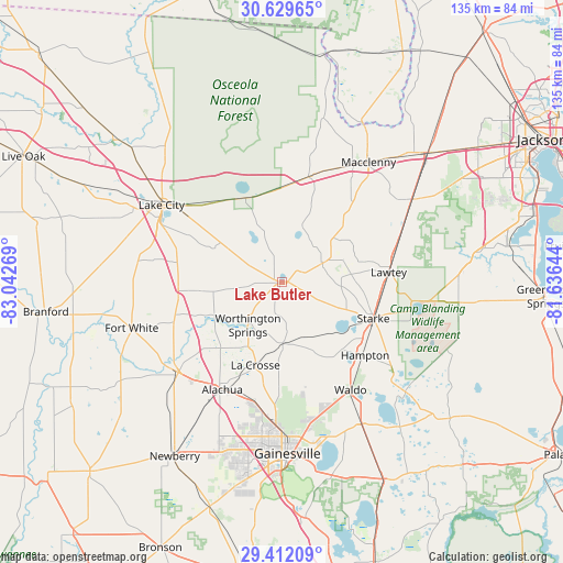
| Upper-left | 30.62965°, | -83.04269° |
| Center: | 30.02274°, | -82.33956° |
| Lower-right: | 29.41209°, | -81.63644° |
| Map W x H: | 135.4×135.4 km | = 84.1×84.1mi |
| max Lat: | 71.29058° ⇑93.3% North |
| Lake Butler: | 30.02274° |
| min Lat: | ⇓6.7% South 19.06759° |
| min Long | Lake Butler | max Long |
| -171.73463° | -82.33956° | -66.98998° |
| W 64.5%⇐ | ⇒35.5% E |
Elevation
Elevation of Lake Butler is 46 m = 151 ft, and this is 248.8 m = 816 ft below average elevation for this country.
| Max E: |
3189 m = 10463 ft | 80.1% |
| Avg. | 294.8 m = 967 ft | |
| Lake Butler | 46 m = 151 ft | |
Min E: |
-60 m = -197 ft | 19.9% |
See also: United States elevation on elevation.city.
Geographical zone
Lake Butler is located in North temperate zone (between Tropic of Cancer and the Arctic Circle). Distance of this Northern Tropic circle is 732.3 km =455 mi to South.| Distance of | km | miles | from Lake Butler |
|---|---|---|---|
| North Pole | 6668.8 | 4143.8 | to North |
| Arctic Circle | 4063 | 2524.6 | to North |
| Tropic Cancer | 732.3 | 455 | to South |
| Equator | 3338.2 | 2074.3 | to South |


Nearby cities:
15 places around Lake Butler: (largest is in red/bold)
• Alachua
31.2 km =19.4 mi,  195°
195°
• Baldwin
46.8 km =29.1 mi,  48°
48°
• Five Points
35.4 km =22 mi,  305°
305°
• Fort White
37.7 km =23.4 mi,  252°
252°
• Gainesville
41.3 km =25.7 mi,  178°
178°
• High Springs
33 km =20.5 mi,  228°
228°
• Keystone Heights
39.7 km =24.7 mi,  131°
131°
• Lake City
34.3 km =21.3 mi,  302°
302°
• Lawtey
25.9 km =16.1 mi,  84°
84°
• Macclenny
35.6 km =22.1 mi,  35°
35°
• Middleburg
46.4 km =28.8 mi, 83°
• Newberry
49.1 km =30.5 mi,  211°
211°
• Starke
23.8 km =14.8 mi,  111°
111°
• Waldo
30.8 km =19.1 mi,  147°
147°
• Watertown
32.5 km =20.2 mi, 305°
Sources, notices
• [Note1] Compared only with cities in United States existing in our database
• [Src1] Map data: © OpenStreetMap contributors (CC-BY-SA)
• [Src2] Other city data from geonames.org with taken over terms of usage.
• [Src3] Geographical zone / Annual Mean Temperature by Robert A. Rohde @ Wikipedia
