Rochester geodata
Rochester (Illinois) is a populated place; located in United States in America/Chicago (GMT-5) time zone. With population of 3,779 people, there are 8486 cities with bigger population in this country. Compared to other cities in United States, 51.1% of cities are located further ↓South; 57.6% of cities are located further →East and 56.8% of cities have higher elevation than Rochester. Note1
Administrative division(s):
- Level 1: Illinois
- Level 2: Sangamon County
- Level 3: Township of Rochester


Rochester GPS coordinates[2]
39° 44' 58.164" North, 89° 31' 54.336" West
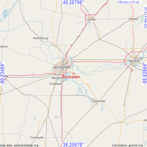
| Map corner | latitude | longitude |
|---|---|---|
| Upper-left | 40.28796°, | -90.23489° |
| Center: | 39.74949°, | -89.53176° |
| Lower-right: | 39.20678°, | -88.82864° |
| Map W x H: | 120.2×120.2 km | = 74.7×74.7mi |
| max Lat: | 71.29058° ⇑48.9% North |
| Rochester: | 39.74949° |
| min Lat: | ⇓51.1% South 19.06759° |
| min Long | Rochester | max Long |
| -171.73463° | -89.53176° | -66.98998° |
| W 42.4%⇐ | ⇒57.6% E |
Elevation
Elevation of Rochester is 172 m = 564 ft, and this is 122.8 m = 403 ft below average elevation for this country.
| Max E: |
3189 m = 10463 ft | 56.8% |
| Avg. | 294.8 m = 967 ft | |
| Rochester | 172 m = 564 ft | |
Min E: |
-60 m = -197 ft | 43.2% |
See also: United States elevation on elevation.city.
Geographical zone
Rochester is located in North temperate zone (between Tropic of Cancer and the Arctic Circle). Distance of this Northern Tropic circle is 1813.8 km =1127 mi to South.| Distance of | km | miles | from Rochester |
|---|---|---|---|
| North Pole | 5587.3 | 3471.8 | to North |
| Arctic Circle | 2981.4 | 1852.6 | to North |
| Tropic Cancer | 1813.8 | 1127 | to South |
| Equator | 4419.7 | 2746.3 | to South |


Nearby cities:
15 places around Rochester: (largest is in red/bold)
• Chatham
16.9 km =10.5 mi,  241°
241°
• Divernon
23.1 km =14.4 mi,  207°
207°
• Edinburg
15.9 km =9.9 mi,  130°
130°
• Grandview
10.5 km =6.5 mi,  315°
315°
• Jerome
12.9 km =8 mi,  278°
278°
• Kincaid
20.5 km =12.7 mi,  150°
150°
• Leland Grove
13 km =8.1 mi, 283°
• Mechanicsburg
13.3 km =8.3 mi,  59°
59°
• Pawnee
18 km =11.2 mi,  193°
193°
• Riverton
10.6 km =6.6 mi,  356°
356°
• Sherman
17.2 km =10.7 mi,  338°
338°
• Southern View
10.5 km =6.5 mi,  274°
274°
• Spaulding
13 km =8.1 mi, 356°
• Springfield
11.2 km =7 mi,  301°
301°
• Williamsville
22.8 km =14.2 mi, 356°
Sources, notices
• [Note1] Compared only with cities in United States existing in our database
• [Src1] Map data: © OpenStreetMap contributors (CC-BY-SA)
• [Src2] Other city data from geonames.org with taken over terms of usage.
• [Src3] Geographical zone / Annual Mean Temperature by Robert A. Rohde @ Wikipedia
