Geneva geodata
Geneva (Indiana) is a populated place; located in United States in America/Indiana/Indianapolis (GMT-4) time zone. With population of 1,316 people, there are 14516 cities with bigger population in this country. Compared to other cities in United States, 51.6% of cities are located further ↑North; 53.7% of cities are located further ←West and 58.6% of cities have lower elevation than Geneva. Note1


Geneva GPS coordinates[2]
39° 23' 30.192" North, 85° 43' 11.928" West
| Map corner | latitude | longitude |
|---|---|---|
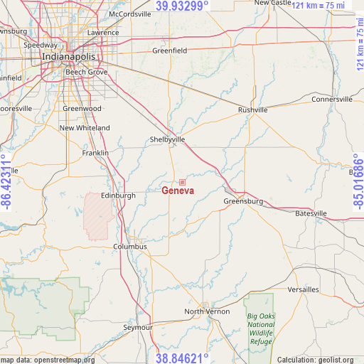
| Upper-left | 39.93299°, | -86.42311° |
| Center: | 39.39172°, | -85.71998° |
| Lower-right: | 38.84621°, | -85.01686° |
| Map W x H: | 120.8×120.8 km | = 75.1×75.1mi |
| max Lat: | 71.29058° ⇑51.6% North |
| Geneva: | 39.39172° |
| min Lat: | ⇓48.4% South 19.06759° |
| min Long | Geneva | max Long |
| -171.73463° | -85.71998° | -66.98998° |
| W 53.7%⇐ | ⇒46.3% E |
Elevation
Elevation of Geneva is 233 m = 764 ft, and this is 61.8 m = 203 ft below average elevation for this country.
| Max E: |
3189 m = 10463 ft | 41.4% |
| Avg. | 294.8 m = 967 ft | |
| Geneva | 233 m = 764 ft | |
Min E: |
-60 m = -197 ft | 58.6% |
See also: United States elevation on elevation.city.
Geographical zone
Geneva is located in North temperate zone (between Tropic of Cancer and the Arctic Circle). Distance of this Northern Tropic circle is 1774 km =1102.3 mi to South.| Distance of | km | miles | from Geneva |
|---|---|---|---|
| North Pole | 5627.1 | 3496.5 | to North |
| Arctic Circle | 3021.2 | 1877.3 | to North |
| Tropic Cancer | 1774 | 1102.3 | to South |
| Equator | 4379.9 | 2721.5 | to South |


Nearby cities:
15 places around Geneva: (largest is in red/bold)
• Columbus
27.3 km =17 mi,  219°
219°
• Edinburgh
21.6 km =13.4 mi,  258°
258°
• Elizabethtown
29.6 km =18.4 mi,  195°
195°
• Fairland
24.9 km =15.5 mi,  330°
330°
• Franklin
30.4 km =18.9 mi,  288°
288°
• Greensburg
21.2 km =13.2 mi,  106°
106°
• Hope
10.7 km =6.6 mi, 204°
• Milroy
24.5 km =15.2 mi,  61°
61°
• Morristown
31.4 km =19.5 mi,  3°
3°
• Princes Lakes
32.8 km =20.4 mi, 262°
• Saint Paul
8.9 km =5.5 mi, 62°
• Shelbyville
15.2 km =9.4 mi,  341°
341°
• Taylorsville
22.5 km =14 mi,  241°
241°
• Waldron
8.3 km =5.2 mi,  33°
33°
• Westport
27.1 km =16.8 mi,  152°
152°
Sources, notices
• [Note1] Compared only with cities in United States existing in our database
• [Src1] Map data: © OpenStreetMap contributors (CC-BY-SA)
• [Src2] Other city data from geonames.org with taken over terms of usage.
• [Src3] Geographical zone / Annual Mean Temperature by Robert A. Rohde @ Wikipedia
