Southport geodata
Southport (Indiana) is a populated place; located in United States in America/Indiana/Indianapolis (GMT-4) time zone. With population of 1,712 people, there are 12869 cities with bigger population in this country. Compared to other cities in United States, 50.5% of cities are located further ↓South; 52.5% of cities are located further ←West and 57.9% of cities have lower elevation than Southport. Note1


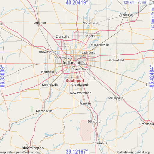
Southport GPS coordinates[2]
39° 39' 54.18" North, 86° 7' 39.936" West
| Map corner | latitude | longitude |
|---|---|---|
| Upper-left | 40.20419°, | -86.83089° |
| Center: | 39.66505°, | -86.12776° |
| Lower-right: | 39.12167°, | -85.42464° |
| Map W x H: | 120.4×120.4 km | = 74.8×74.8mi |
| max Lat: | 71.29058° ⇑49.5% North |
| Southport: | 39.66505° |
| min Lat: | ⇓50.5% South 19.06759° |
| min Long | Southport | max Long |
| -171.73463° | -86.12776° | -66.98998° |
| W 52.5%⇐ | ⇒47.5% E |
Elevation
Elevation of Southport is 230 m = 755 ft, and this is 64.8 m = 213 ft below average elevation for this country.
| Max E: |
3189 m = 10463 ft | 42.1% |
| Avg. | 294.8 m = 967 ft | |
| Southport | 230 m = 755 ft | |
Min E: |
-60 m = -197 ft | 57.9% |
See also: United States elevation on elevation.city.
Geographical zone
Southport is located in North temperate zone (between Tropic of Cancer and the Arctic Circle). Distance of this Northern Tropic circle is 1804.4 km =1121.2 mi to South.| Distance of | km | miles | from Southport |
|---|---|---|---|
| North Pole | 5596.7 | 3477.6 | to North |
| Arctic Circle | 2990.8 | 1858.4 | to North |
| Tropic Cancer | 1804.4 | 1121.2 | to South |
| Equator | 4410.3 | 2740.4 | to South |


Nearby cities:
15 places around Southport: (largest is in red/bold)
• Bargersville
16.4 km =10.2 mi,  192°
192°
• Beech Grove
7.1 km =4.4 mi,  27°
27°
• Cumberland
19.1 km =11.9 mi,  49°
49°
• Franklin
21.4 km =13.3 mi,  163°
163°
• Greenwood
6 km =3.7 mi, 162°
• Homecroft
0.6 km =0.4 mi,  330°
330°
• Indianapolis
11.8 km =7.3 mi,  347°
347°
• Lawrence
21.2 km =13.2 mi,  24°
24°
• New Palestine
21.4 km =13.3 mi,  72°
72°
• New Whiteland
12.2 km =7.6 mi,  166°
166°
• Rocky Ripple
20.7 km =12.9 mi, 349°
• Speedway
19.4 km =12.1 mi,  321°
321°
• Warren Park
14.6 km =9.1 mi, 27°
• Waterloo
12.9 km =8 mi,  207°
207°
• Whiteland
13.4 km =8.3 mi, 162°
Sources, notices
• [Note1] Compared only with cities in United States existing in our database
• [Src1] Map data: © OpenStreetMap contributors (CC-BY-SA)
• [Src2] Other city data from geonames.org with taken over terms of usage.
• [Src3] Geographical zone / Annual Mean Temperature by Robert A. Rohde @ Wikipedia
