Effingham geodata
Effingham (Kansas) is a populated place; located in United States in America/Chicago (GMT-5) time zone. With population of 521 people, there are 20618 cities with bigger population in this country. Compared to other cities in United States, 50.7% of cities are located further ↑North; 72.1% of cities are located further →East and 79.6% of cities have lower elevation than Effingham. Note1


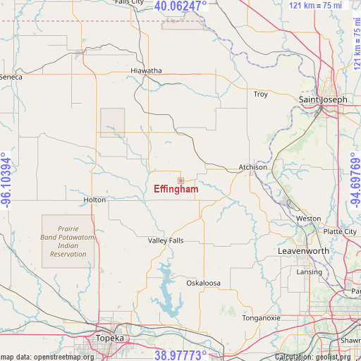
Effingham GPS coordinates[2]
39° 31' 19.992" North, 95° 24' 2.916" West
| Map corner | latitude | longitude |
|---|---|---|
| Upper-left | 40.06247°, | -96.10394° |
| Center: | 39.52222°, | -95.40081° |
| Lower-right: | 38.97773°, | -94.69769° |
| Map W x H: | 120.6×120.6 km | = 74.9×74.9mi |
| max Lat: | 71.29058° ⇑50.7% North |
| Effingham: | 39.52222° |
| min Lat: | ⇓49.3% South 19.06759° |
| min Long | Effingham | max Long |
| -171.73463° | -95.40081° | -66.98998° |
| W 27.9%⇐ | ⇒72.1% E |
Elevation
Elevation of Effingham is 349 m = 1145 ft, and this is 54.2 m = 178 ft above average elevation for this country.
| Max E: |
3189 m = 10463 ft | 20.4% |
| Effingham | 349 m 1145 ft | |
| Avg. | 294.8 m = 967 ft | |
Min E: |
-60 m = -197 ft | 79.6% |
See also: United States elevation on elevation.city.
Geographical zone
Effingham is located in North temperate zone (between Tropic of Cancer and the Arctic Circle). Distance of this Northern Tropic circle is 1788.5 km =1111.3 mi to South.| Distance of | km | miles | from Effingham |
|---|---|---|---|
| North Pole | 5612.6 | 3487.5 | to North |
| Arctic Circle | 3006.7 | 1868.3 | to North |
| Tropic Cancer | 1788.5 | 1111.3 | to South |
| Equator | 4394.5 | 2730.6 | to South |


Nearby cities:
15 places around Effingham: (largest is in red/bold)
• Atchison
24.4 km =15.2 mi,  79°
79°
• Hiawatha
38.5 km =23.9 mi,  342°
342°
• Highland
39.2 km =24.4 mi,  16°
16°
• Holton
29.5 km =18.3 mi,  257°
257°
• Horton
18.8 km =11.7 mi,  325°
325°
• Hoyt
40.3 km =25 mi,  220°
220°
• McLouth
39.9 km =24.8 mi,  155°
155°
• Meriden
39.8 km =24.7 mi,  201°
201°
• Nortonville
13.1 km =8.1 mi,  153°
153°
• Oskaloosa
35 km =21.7 mi,  167°
167°
• Ozawkie
32.6 km =20.3 mi,  190°
190°
• Troy
39.4 km =24.5 mi,  42°
42°
• Valley Falls
20.5 km =12.7 mi, 194°
• Weston
44.6 km =27.7 mi,  106°
106°
• Winchester
25 km =15.5 mi, 152°
Sources, notices
• [Note1] Compared only with cities in United States existing in our database
• [Src1] Map data: © OpenStreetMap contributors (CC-BY-SA)
• [Src2] Other city data from geonames.org with taken over terms of usage.
• [Src3] Geographical zone / Annual Mean Temperature by Robert A. Rohde @ Wikipedia
