Alexandria geodata
Alexandria (Louisiana) is a seat of a second-order administrative division; located in United States in America/Chicago (GMT-5) time zone. With population of 47,889 people, there are 1002 cities with bigger population in this country. Compared to other cities in United States, 90.1% of cities are located further ↑North; 65.1% of cities are located further →East and 85.4% of cities have higher elevation than Alexandria. Note1


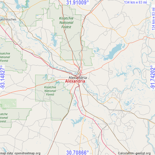
Alexandria GPS coordinates[2]
31° 18' 40.644" North, 92° 26' 42.504" West
| Map corner | latitude | longitude |
|---|---|---|
| Upper-left | 31.91009°, | -93.14827° |
| Center: | 31.31129°, | -92.44514° |
| Lower-right: | 30.70866°, | -91.74202° |
| Map W x H: | 133.6×133.6 km | = 83×83mi |
| max Lat: | 71.29058° ⇑90.1% North |
| Alexandria: | 31.31129° |
| min Lat: | ⇓9.9% South 19.06759° |
| min Long | Alexandria | max Long |
| -171.73463° | -92.44514° | -66.98998° |
| W 34.9%⇐ | ⇒65.1% E |
Elevation
Elevation of Alexandria is 27 m = 89 ft, and this is 267.8 m = 879 ft below average elevation for this country.
| Max E: |
3189 m = 10463 ft | 85.4% |
| Avg. | 294.8 m = 967 ft | |
| Alexandria | 27 m = 89 ft | |
Min E: |
-60 m = -197 ft | 14.6% |
See also: Alexandria elevation on elevation.city.
Geographical zone
Alexandria is located in North temperate zone (between Tropic of Cancer and the Arctic Circle). Distance of this Northern Tropic circle is 875.6 km =544.1 mi to South.| Distance of | km | miles | from Alexandria |
|---|---|---|---|
| North Pole | 6525.6 | 4054.8 | to North |
| Arctic Circle | 3919.7 | 2435.6 | to North |
| Tropic Cancer | 875.6 | 544.1 | to South |
| Equator | 3481.5 | 2163.3 | to South |


Nearby cities:
15 places around Alexandria: (largest is in red/bold)
• Ball
12 km =7.5 mi,  15°
15°
• Boyce
23 km =14.3 mi,  292°
292°
• Bunkie
47 km =29.2 mi,  147°
147°
• Cheneyville
36.2 km =22.5 mi,  155°
155°
• Colfax
33.9 km =21.1 mi,  312°
312°
• Deville
27.1 km =16.8 mi,  79°
79°
• Fifth Ward
32.8 km =20.4 mi,  127°
127°
• Forest Hill
31.1 km =19.3 mi,  195°
195°
• Glenmora
39.5 km =24.5 mi, 199°
• Hessmer
41.6 km =25.8 mi, 132°
• Lecompte
24.5 km =15.2 mi,  169°
169°
• Mansura
47 km =29.2 mi, 126°
• Marksville
41.4 km =25.7 mi,  119°
119°
• Pineville
1.6 km =1 mi,  39°
39°
• Woodworth
19 km =11.8 mi, 195°
Sources, notices
• [Note1] Compared only with cities in United States existing in our database
• [Src1] Map data: © OpenStreetMap contributors (CC-BY-SA)
• [Src2] Other city data from geonames.org with taken over terms of usage.
• [Src3] Geographical zone / Annual Mean Temperature by Robert A. Rohde @ Wikipedia
