Glenmora geodata
Glenmora (Louisiana) is a populated place; located in United States in America/Chicago (GMT-5) time zone. With population of 1,320 people, there are 14488 cities with bigger population in this country. Compared to other cities in United States, 90.8% of cities are located further ↑North; 65.4% of cities are located further →East and 81.1% of cities have higher elevation than Glenmora. Note1


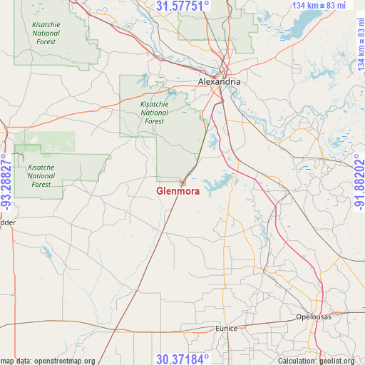
Glenmora GPS coordinates[2]
30° 58' 35.688" North, 92° 35' 6.504" West
| Map corner | latitude | longitude |
|---|---|---|
| Upper-left | 31.57751°, | -93.28827° |
| Center: | 30.97658°, | -92.58514° |
| Lower-right: | 30.37184°, | -91.88202° |
| Map W x H: | 134.1×134.1 km | = 83.3×83.3mi |
| max Lat: | 71.29058° ⇑90.8% North |
| Glenmora: | 30.97658° |
| min Lat: | ⇓9.2% South 19.06759° |
| min Long | Glenmora | max Long |
| -171.73463° | -92.58514° | -66.98998° |
| W 34.6%⇐ | ⇒65.4% E |
Elevation
Elevation of Glenmora is 42 m = 138 ft, and this is 252.8 m = 829 ft below average elevation for this country.
| Max E: |
3189 m = 10463 ft | 81.1% |
| Avg. | 294.8 m = 967 ft | |
| Glenmora | 42 m = 138 ft | |
Min E: |
-60 m = -197 ft | 18.9% |
See also: United States elevation on elevation.city.
Geographical zone
Glenmora is located in North temperate zone (between Tropic of Cancer and the Arctic Circle). Distance of this Northern Tropic circle is 838.4 km =521 mi to South.| Distance of | km | miles | from Glenmora |
|---|---|---|---|
| North Pole | 6562.8 | 4077.9 | to North |
| Arctic Circle | 3956.9 | 2458.7 | to North |
| Tropic Cancer | 838.4 | 521 | to South |
| Equator | 3444.3 | 2140.2 | to South |


Nearby cities:
15 places around Glenmora: (largest is in red/bold)
• Alexandria
39.5 km =24.5 mi,  19°
19°
• Bunkie
38.5 km =23.9 mi,  93°
93°
• Cheneyville
28.7 km =17.8 mi,  81°
81°
• Elizabeth
23.2 km =14.4 mi,  238°
238°
• Fifth Ward
42.8 km =26.6 mi,  66°
66°
• Forest Hill
8.9 km =5.5 mi,  35°
35°
• Lecompte
22 km =13.7 mi,  53°
53°
• Mamou
41.3 km =25.7 mi,  157°
157°
• Oakdale
19.2 km =11.9 mi,  201°
201°
• Oberlin
43.1 km =26.8 mi, 203°
• Pine Prairie
26.3 km =16.3 mi,  144°
144°
• Pineville
41 km =25.5 mi, 20°
• Pitkin
33.8 km =21 mi,  262°
262°
• Reddell
36.9 km =22.9 mi, 155°
• Woodworth
20.7 km =12.9 mi, 23°
Sources, notices
• [Note1] Compared only with cities in United States existing in our database
• [Src1] Map data: © OpenStreetMap contributors (CC-BY-SA)
• [Src2] Other city data from geonames.org with taken over terms of usage.
• [Src3] Geographical zone / Annual Mean Temperature by Robert A. Rohde @ Wikipedia
