Calhoun geodata
Calhoun (Louisiana) is a populated place; located in United States in America/Chicago (GMT-5) time zone. With population of 679 people, there are 18881 cities with bigger population in this country. Compared to other cities in United States, 87.1% of cities are located further ↑North; 64.9% of cities are located further →East and 76.5% of cities have higher elevation than Calhoun. Note1


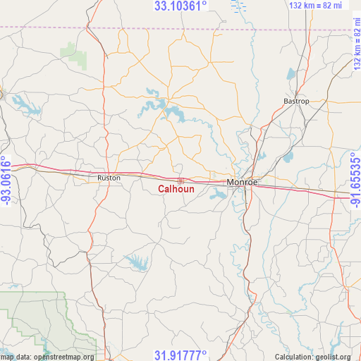
Calhoun GPS coordinates[2]
32° 30' 45.54" North, 92° 21' 30.492" West
| Map corner | latitude | longitude |
|---|---|---|
| Upper-left | 33.10361°, | -93.0616° |
| Center: | 32.51265°, | -92.35847° |
| Lower-right: | 31.91777°, | -91.65535° |
| Map W x H: | 131.9×131.9 km | = 82×82mi |
| max Lat: | 71.29058° ⇑87.1% North |
| Calhoun: | 32.51265° |
| min Lat: | ⇓12.9% South 19.06759° |
| min Long | Calhoun | max Long |
| -171.73463° | -92.35847° | -66.98998° |
| W 35.1%⇐ | ⇒64.9% E |
Elevation
Elevation of Calhoun is 63 m = 207 ft, and this is 231.8 m = 760 ft below average elevation for this country.
| Max E: |
3189 m = 10463 ft | 76.5% |
| Avg. | 294.8 m = 967 ft | |
| Calhoun | 63 m = 207 ft | |
Min E: |
-60 m = -197 ft | 23.5% |
See also: United States elevation on elevation.city.
Geographical zone
Calhoun is located in North temperate zone (between Tropic of Cancer and the Arctic Circle). Distance of this Northern Tropic circle is 1009.1 km =627 mi to South.| Distance of | km | miles | from Calhoun |
|---|---|---|---|
| North Pole | 6392 | 3971.8 | to North |
| Arctic Circle | 3786.1 | 2352.6 | to North |
| Tropic Cancer | 1009.1 | 627 | to South |
| Equator | 3615.1 | 2246.3 | to South |


Nearby cities:
15 places around Calhoun: (largest is in red/bold)
• Bawcomville
18.5 km =11.5 mi,  104°
104°
• Brownsville
19.4 km =12.1 mi, 98°
• Chatham
24.5 km =15.2 mi,  200°
200°
• Choudrant
14.7 km =9.1 mi,  277°
277°
• Claiborne
15.6 km =9.7 mi,  88°
88°
• Dubach
34.8 km =21.6 mi,  306°
306°
• Farmerville
29.3 km =18.2 mi,  351°
351°
• Grambling
33.4 km =20.8 mi,  272°
272°
• Lakeshore
30.9 km =19.2 mi, 85°
• Monroe
22.4 km =13.9 mi, 90°
• Richwood
26.6 km =16.5 mi,  105°
105°
• Ruston
26.2 km =16.3 mi, 272°
• Sterlington
32.7 km =20.3 mi,  51°
51°
• Swartz
35.5 km =22.1 mi,  79°
79°
• West Monroe
19.8 km =12.3 mi, 88°
Sources, notices
• [Note1] Compared only with cities in United States existing in our database
• [Src1] Map data: © OpenStreetMap contributors (CC-BY-SA)
• [Src2] Other city data from geonames.org with taken over terms of usage.
• [Src3] Geographical zone / Annual Mean Temperature by Robert A. Rohde @ Wikipedia
