Walnut Grove geodata
Walnut Grove (Missouri) is a populated place; located in United States in America/Chicago (GMT-5) time zone. With population of 766 people, there are 18081 cities with bigger population in this country. Compared to other cities in United States, 64.4% of cities are located further ↑North; 67.6% of cities are located further →East and 81.8% of cities have lower elevation than Walnut Grove. Note1
Administrative division(s):
- Level 1: Missouri
- Level 2: Greene County
- Level 3: Township of Walnut Grove


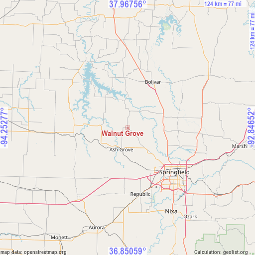
Walnut Grove GPS coordinates[2]
37° 24' 40.176" North, 93° 32' 58.704" West
| Map corner | latitude | longitude |
|---|---|---|
| Upper-left | 37.96756°, | -94.25277° |
| Center: | 37.41116°, | -93.54964° |
| Lower-right: | 36.85059°, | -92.84652° |
| Map W x H: | 124.2×124.2 km | = 77.2×77.2mi |
| max Lat: | 71.29058° ⇑64.4% North |
| Walnut Grove: | 37.41116° |
| min Lat: | ⇓35.6% South 19.06759° |
| min Long | Walnut Grove | max Long |
| -171.73463° | -93.54964° | -66.98998° |
| W 32.4%⇐ | ⇒67.6% E |
Elevation
Elevation of Walnut Grove is 374 m = 1227 ft, and this is 79.2 m = 260 ft above average elevation for this country.
| Max E: |
3189 m = 10463 ft | 18.2% |
| Walnut Grove | 374 m 1227 ft | |
| Avg. | 294.8 m = 967 ft | |
Min E: |
-60 m = -197 ft | 81.8% |
See also: United States elevation on elevation.city.
Geographical zone
Walnut Grove is located in North temperate zone (between Tropic of Cancer and the Arctic Circle). Distance of this Northern Tropic circle is 1553.8 km =965.5 mi to South.| Distance of | km | miles | from Walnut Grove |
|---|---|---|---|
| North Pole | 5847.3 | 3633.3 | to North |
| Arctic Circle | 3241.4 | 2014.1 | to North |
| Tropic Cancer | 1553.8 | 965.5 | to South |
| Equator | 4159.7 | 2584.7 | to South |


Nearby cities:
15 places around Walnut Grove: (largest is in red/bold)
• Ash Grove
11.1 km =6.9 mi,  196°
196°
• Battlefield
36.5 km =22.7 mi,  154°
154°
• Billings
38.2 km =23.7 mi,  180°
180°
• Bolivar
25.7 km =16 mi,  28°
28°
• Fair Grove
35.3 km =21.9 mi,  94°
94°
• Greenfield
25.7 km =16 mi,  271°
271°
• Lockwood
35.8 km =22.2 mi, 265°
• Miller
33.7 km =20.9 mi,  229°
229°
• Mount Vernon
41.7 km =25.9 mi,  214°
214°
• Pleasant Hope
25.1 km =15.6 mi,  76°
76°
• Republic
32.9 km =20.4 mi,  169°
169°
• Springfield
31.1 km =19.3 mi,  134°
134°
• Stockton
38.7 km =24 mi,  325°
325°
• Strafford
41.4 km =25.7 mi,  112°
112°
• Willard
15.9 km =9.9 mi,  137°
137°
Sources, notices
• [Note1] Compared only with cities in United States existing in our database
• [Src1] Map data: © OpenStreetMap contributors (CC-BY-SA)
• [Src2] Other city data from geonames.org with taken over terms of usage.
• [Src3] Geographical zone / Annual Mean Temperature by Robert A. Rohde @ Wikipedia
