Forest geodata
Forest (Mississippi) is a seat of a second-order administrative division; located in United States in America/Chicago (GMT-5) time zone. With population of 5,695 people, there are 6611 cities with bigger population in this country. Compared to other cities in United States, 87.6% of cities are located further ↑North; 57.5% of cities are located further →East and 61.1% of cities have higher elevation than Forest. Note1


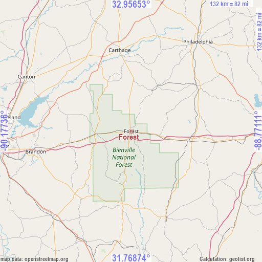
Forest GPS coordinates[2]
32° 21' 52.524" North, 89° 28' 27.228" West
| Map corner | latitude | longitude |
|---|---|---|
| Upper-left | 32.95653°, | -90.17736° |
| Center: | 32.36459°, | -89.47423° |
| Lower-right: | 31.76874°, | -88.77111° |
| Map W x H: | 132.1×132.1 km | = 82.1×82.1mi |
| max Lat: | 71.29058° ⇑87.6% North |
| Forest: | 32.36459° |
| min Lat: | ⇓12.4% South 19.06759° |
| min Long | Forest | max Long |
| -171.73463° | -89.47423° | -66.98998° |
| W 42.5%⇐ | ⇒57.5% E |
Elevation
Elevation of Forest is 149 m = 489 ft, and this is 145.8 m = 478 ft below average elevation for this country.
| Max E: |
3189 m = 10463 ft | 61.1% |
| Avg. | 294.8 m = 967 ft | |
| Forest | 149 m = 489 ft | |
Min E: |
-60 m = -197 ft | 38.9% |
See also: United States elevation on elevation.city.
Geographical zone
Forest is located in North temperate zone (between Tropic of Cancer and the Arctic Circle). Distance of this Northern Tropic circle is 992.7 km =616.8 mi to South.| Distance of | km | miles | from Forest |
|---|---|---|---|
| North Pole | 6408.5 | 3982.1 | to North |
| Arctic Circle | 3802.6 | 2362.8 | to North |
| Tropic Cancer | 992.7 | 616.8 | to South |
| Equator | 3598.6 | 2236.1 | to South |


Nearby cities:
15 places around Forest: (largest is in red/bold)
• Carthage
41.3 km =25.7 mi,  351°
351°
• Coldwater
45.9 km =28.5 mi,  32°
32°
• Conehatta
20.2 km =12.6 mi,  61°
61°
• Decatur
35.3 km =21.9 mi,  76°
76°
• Hickory
42.5 km =26.4 mi,  97°
97°
• Hillsboro
11.1 km =6.9 mi,  341°
341°
• Morton
17 km =10.6 mi,  265°
265°
• Newton
29.6 km =18.4 mi, 99°
• Pelahatchie
31 km =19.3 mi,  259°
259°
• Polkville
28 km =17.4 mi,  227°
227°
• Raleigh
37.1 km =23.1 mi,  187°
187°
• Redwater
45.1 km =28 mi, 352°
• Standing Pine
34.6 km =21.5 mi,  6°
6°
• Union
40.3 km =25 mi, 55°
• Walnut Grove
25.2 km =15.7 mi,  3°
3°
Sources, notices
• [Note1] Compared only with cities in United States existing in our database
• [Src1] Map data: © OpenStreetMap contributors (CC-BY-SA)
• [Src2] Other city data from geonames.org with taken over terms of usage.
• [Src3] Geographical zone / Annual Mean Temperature by Robert A. Rohde @ Wikipedia
